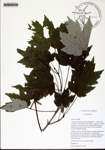
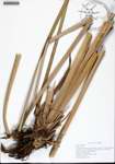
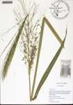
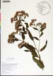
| Special Geographical Unit: | Lower Suwannee National Wildlife Refuge |
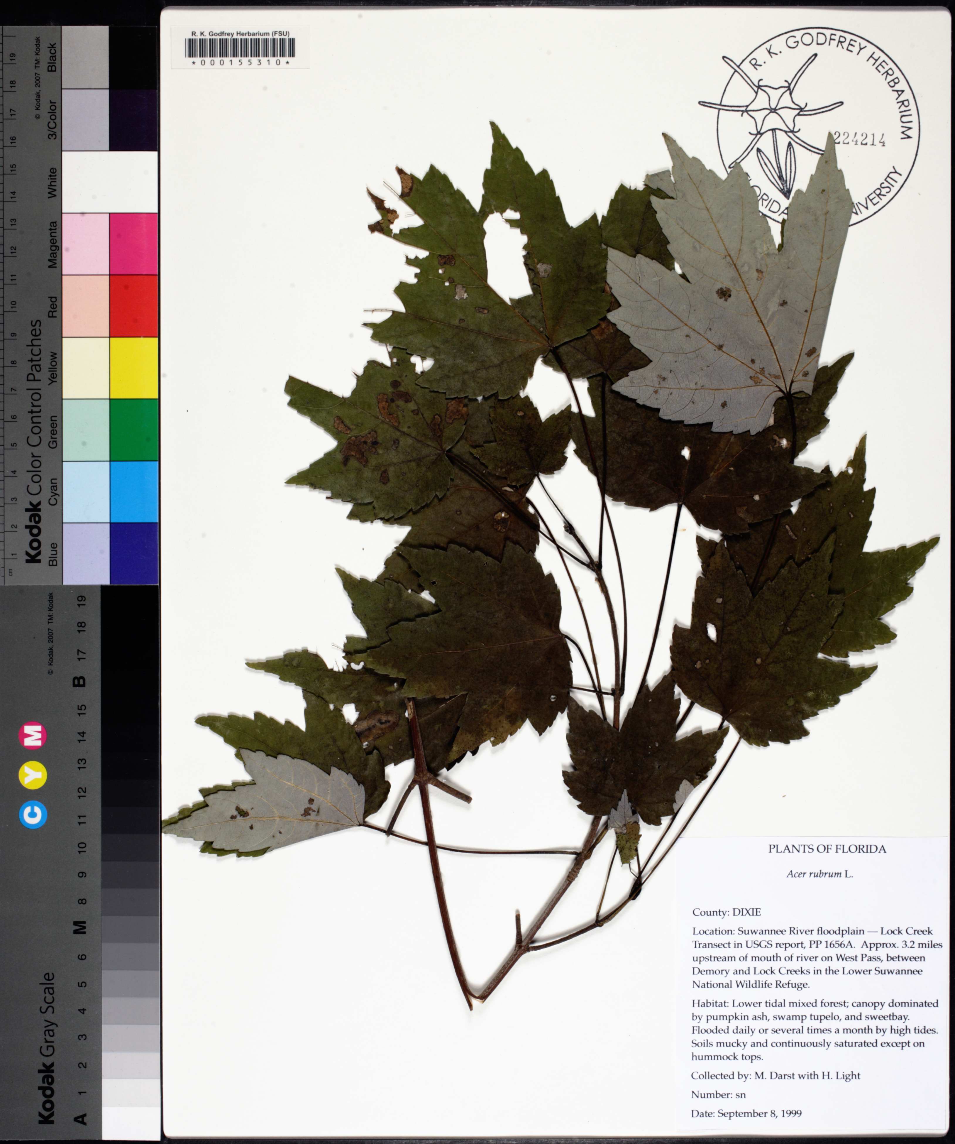
| Verbatim Directions to Locality: | Suwannee River floodplain - Lock Creek Transect in USGS report, PP 1656A; approx. 3.2 miles upstream of river on West Pass, between Demory and Lock Creeks in the Lower Suwannee National Wildlife Refuge |
| Habitat: | lower tidal mixed forest; canopy dominated by pumpkin ash, swamp tupelo, and sweetbay; flooded daily or several times a month by high tides; soils mucky and continuously saturated except on hummock tops |
| Non digital information?: | N |