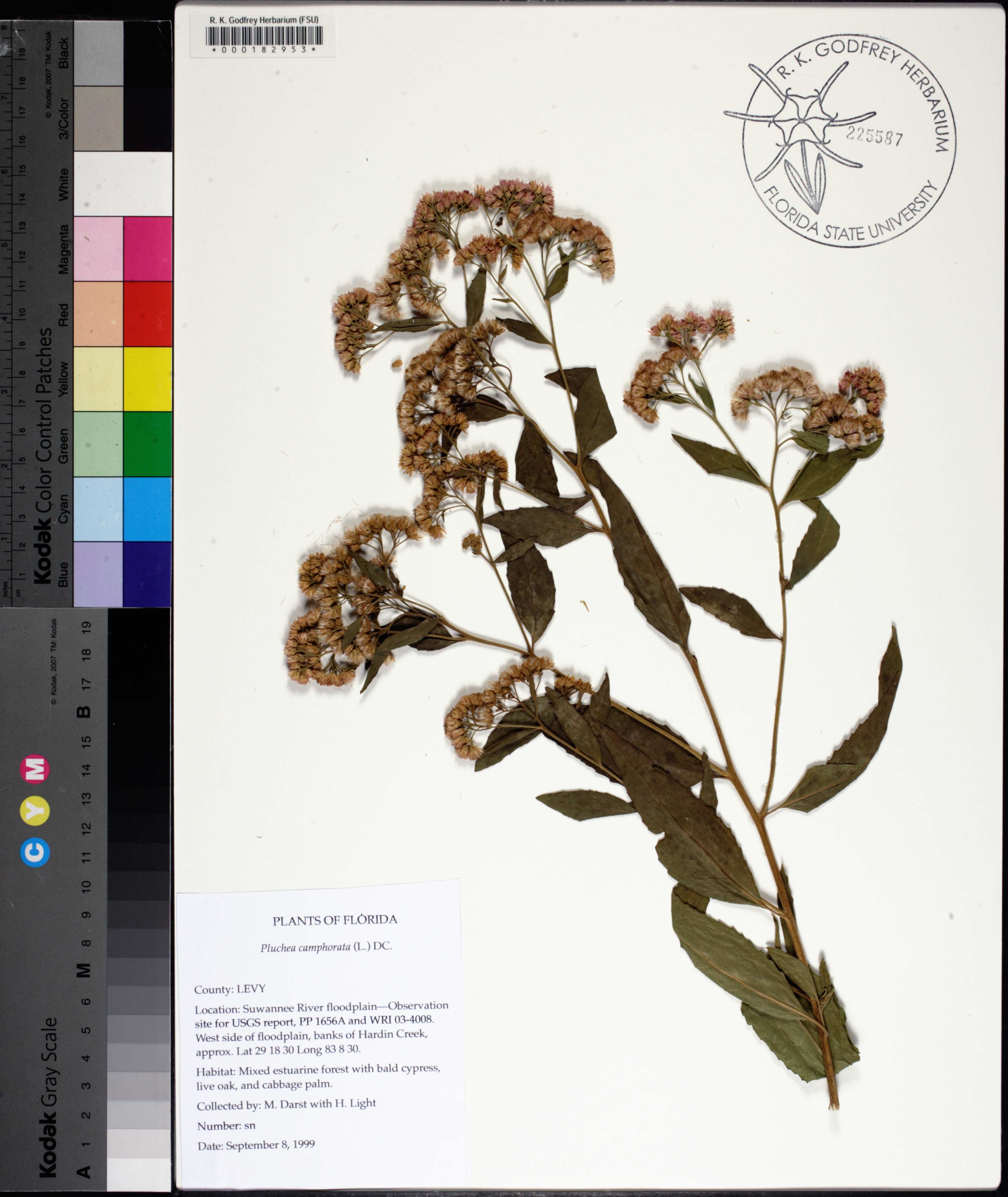
| Verbatim Directions to Locality: | Lower Suwannee River floodplain--Observation site for USGS report, PP 1656A and WRI 03-4008. West side of floodplain, banks of Hardin Creek |
| Latitude - degree: | 29 |
| Latitude - minutes: | 18 |
| Latitude - seconds: | 30 |
| Latitude Direction Flag: | N |
| Longitude - degree: | 83 |
| Longitude - minutes: | 8 |
| Longitude - seconds: | 30 |
| Longitude Direction Flag: | W |
| Habitat: | mixed estuarine forest with bald cypress [Taxodium distichum], live oak [Quercus virginiana], and cabbage palm [Sabal palmetto] |
| Non digital information?: | N |