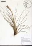
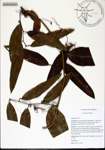
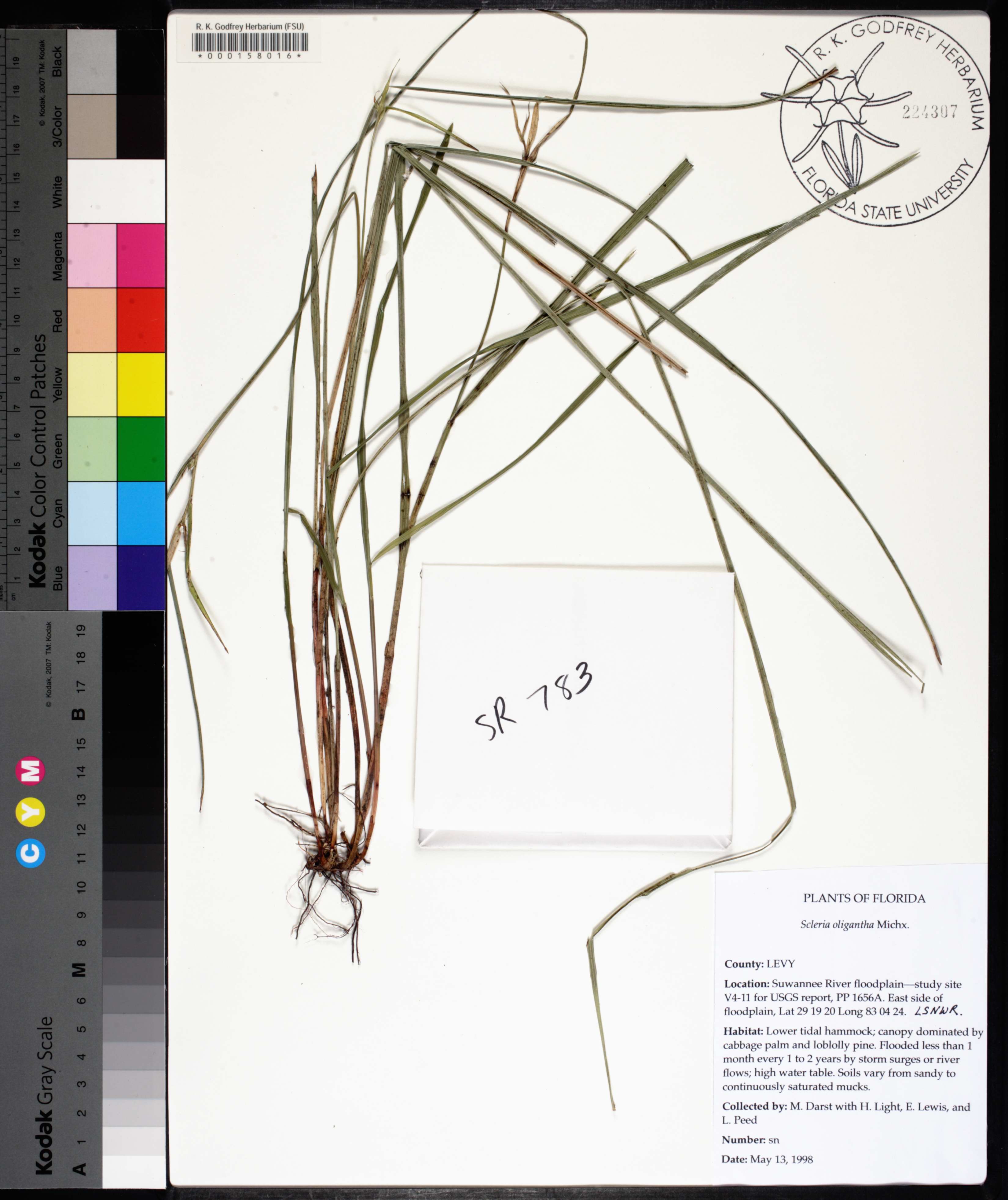
| Special Geographical Unit: | Lower Suwannee National Wildlife Refuge |
| Verbatim Directions to Locality: | Suwannee River floodplain--study site V4-11 for USGS report, PP 1656A; east side of floodplain; LSNWR |
| Latitude - degree: | 29 |
| Latitude - minutes: | 19 |
| Latitude - seconds: | 20 |
| Latitude Direction Flag: | N |
| Longitude - degree: | 83 |
| Longitude - minutes: | 4 |
| Longitude - seconds: | 24 |
| Habitat: | lower tidal hammock; canopy dominated by cabbage palm and loblolly pine; flooded less than 1 month every 1 to 2 years by storm surges or river flows; high water table; soils vary from sandy to continuously saturated mucks |
| Non digital information?: | N |