| Special Geographical Unit: | Nantahala National Forest |
| Verbatim Directions to Locality: | Nantahala National Forest, Hwy. NC 281; hollow, edge of woods |
| Latitude - degree with decimals: | 35.07773 |
| Latitude Direction Flag: | N |
| Longitude - degree with decimals: | 82.99488 |
| Longitude Direction Flag: | W |
| Habitat: | hollow, edge of woods, with Liriodendron tulipifera, Pinus strobus, Oxydendron arboretum, Betula, Acer rubrum, Kalmi latifolia, Robinia pseudoacacia, Tsuga canadensis, Carya glabra, Sambucus canadensis, Eupatorium fistulosum, Polystichum acrostichoides |
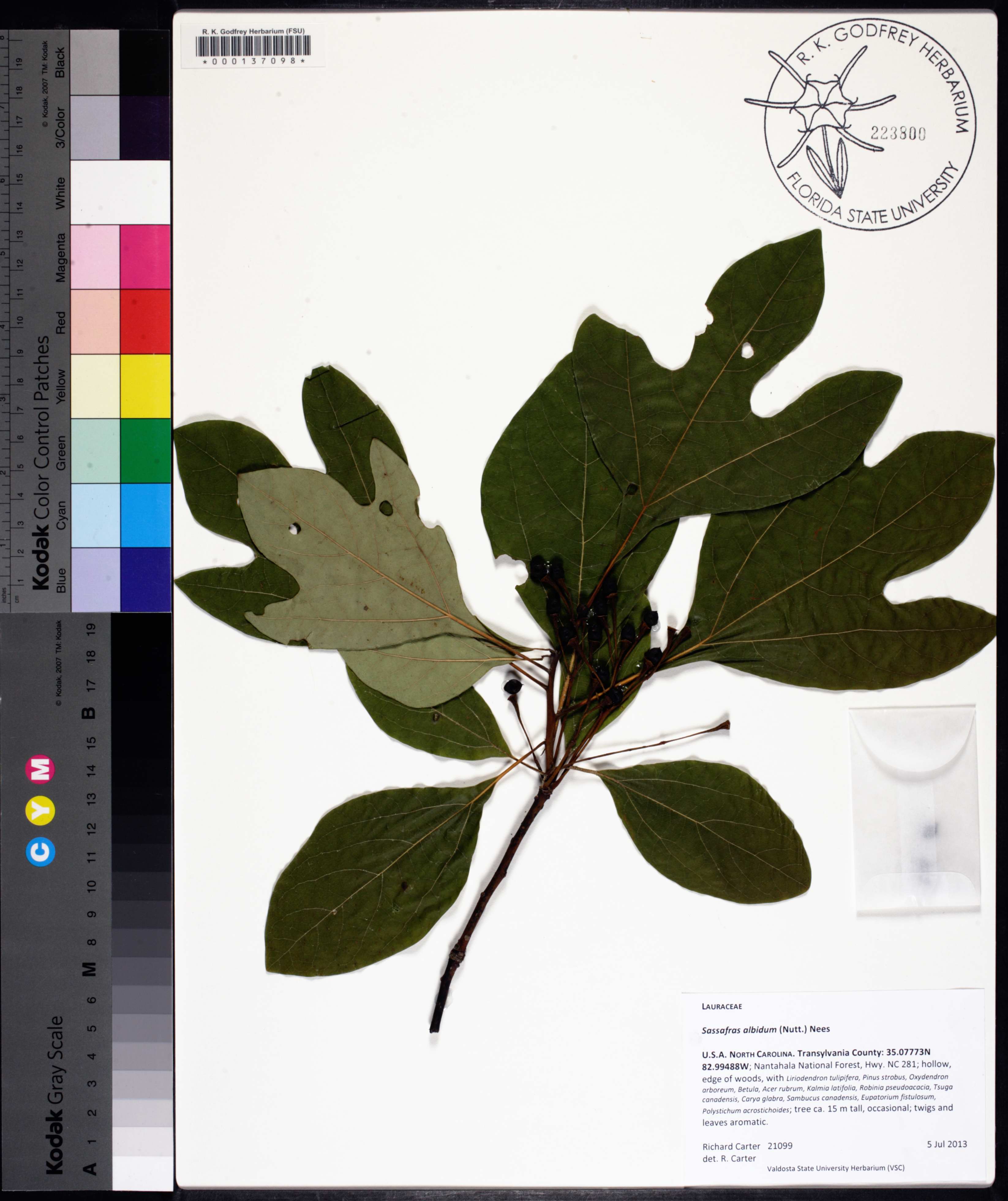
| Plant Morphology Observations: | tree ca. 15 m tall; twigs and leaves aromatic |
| Local Abundance Observations: | occasional |
| Non digital information?: | N |