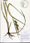
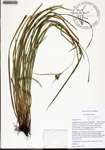
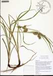
| Special Geographical Unit: | Lower Suwannee National Wildlife Refuge |
| Verbatim Directions to Locality: | Suwannee River floodplain - Turkey Island Transect in USGS report, PP 1656A; approx. 12 mi upstream of mouth of river and 2.4 mi south of Fowlers Bluff, east floodplain side; in the Lower Suwannee National Wildlife Refuge |
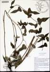
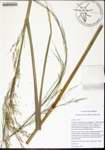
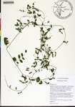
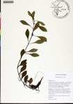
| Habitat: | lower tidal swamp; canopy dominated by swamp tupelo, pumpkin ash, and bald cypress; flooded daily or several times a month by high tides; soils mucky and continuously saturated except on hummock tops |
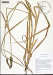
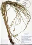
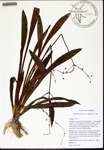
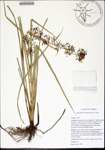
| Plant Morphology Observations: | plant elongate; arch ascending rhizome!; pistillate spikes longer than broad; achene 3.2 mm wide x 2.9 mm long; achene triangular; spikes 2 or more; term. spike staminate; perigynia beaked, strongly nerved (long) ovate? grad. tapering; style not jointed; pistillate scales acuminate; perigynia 13-14 mm long |
| Non digital information?: | N |

