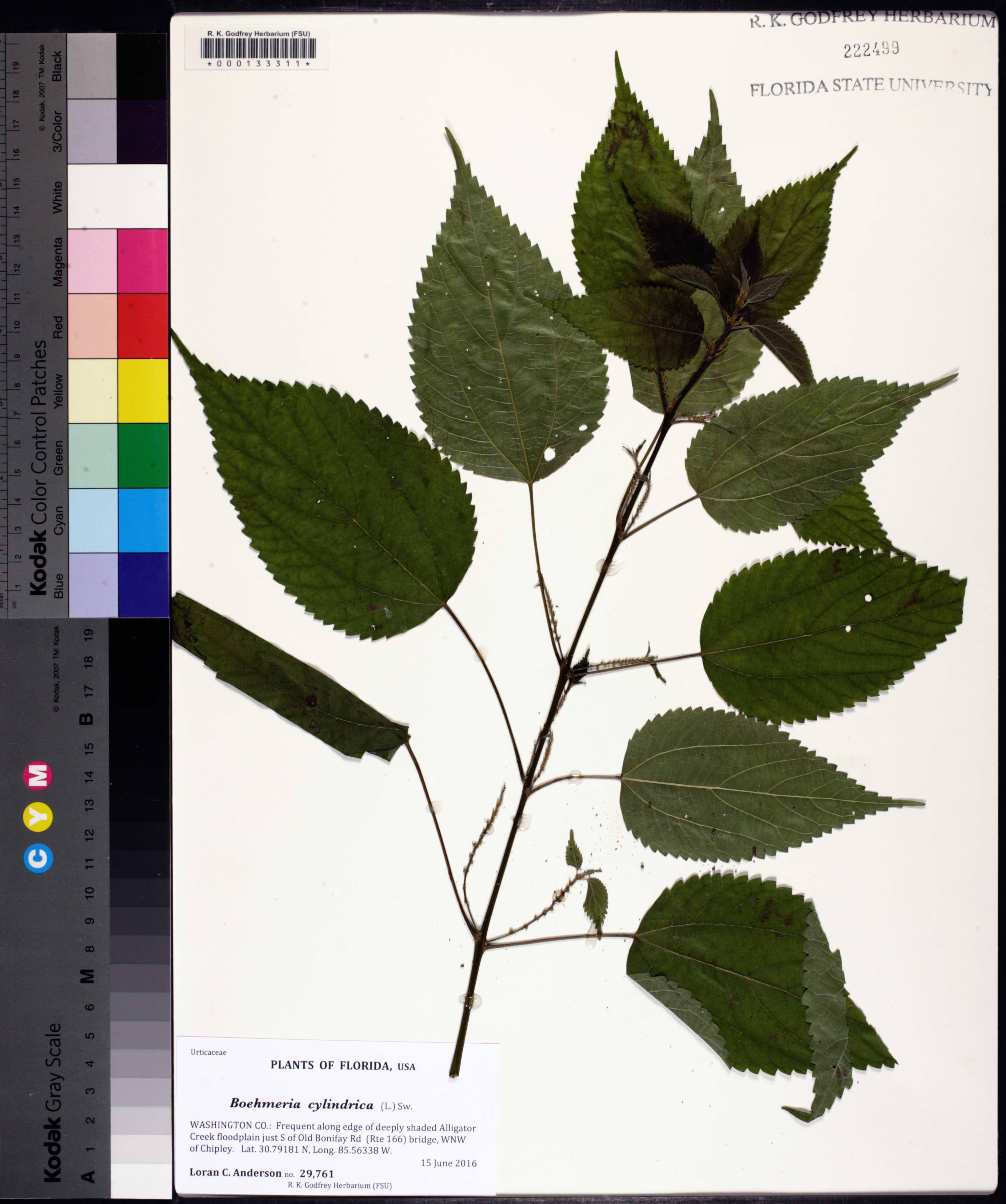
| Verbatim Directions to Locality: | Alligator Creek floodplain just S of Old Bonifay Rd (Rte 166) bridge, WNW of Chipley |
| Latitude - degree with decimals: | 30.79181 |
| Latitude Direction Flag: | N |
| Longitude - degree with decimals: | 85.56338 |
| Longitude Direction Flag: | W |
| Habitat: | along edge of deeply shaded Alligator Creek floodplain |
| Local Abundance Observations: | frequent |
| Non digital information?: | N |