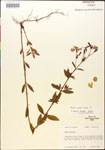
| Special Geographical Unit: | Mays Pond Plantation |
| Verbatim Directions to Locality: | W side of C-1, ca. 0.75 mi NW of Ward Creek bridge, Mays Pond Plantation. |
| Township: | 2N |
| Range: | 4E |
| Section: | 16 |
| Sixteenth: | NE |
| Quarter: | SE |
| Habitat: | along W edge of large pon/wet savannah. |
| Local Abundance Observations: | infrequent. |
| Non digital information?: | N |
