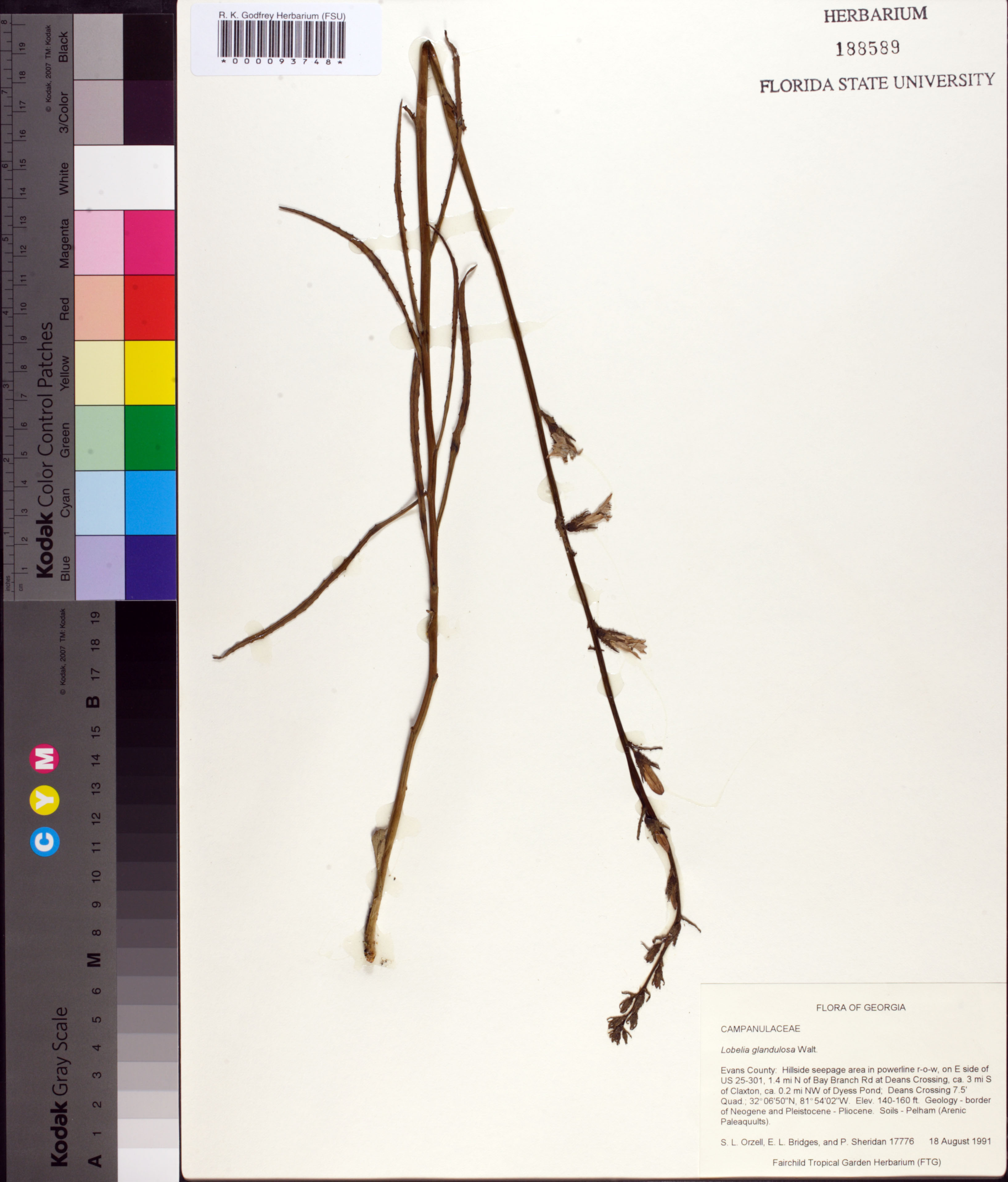
| Verbatim Directions to Locality: | on E side of US 25-301, 1.4 mi N of Bay Branch Rd at Deans Crossing, ca. 3 mi S of Clazton, ca. 0.2 mi NW of Dyess Pond; Deans Crossing 7.5' Quad. |
| Altitude (in meters): | 43 |
| Latitude - degree: | 32 |
| Latitude - minutes: | 6 |
| Latitude - seconds: | 50 |
| Latitude Direction Flag: | N |
| Longitude - degree: | 81 |
| Longitude - minutes: | 54 |
| Longitude - seconds: | 2 |
| Longitude Direction Flag: | W |
| Habitat: | Hillside seepage area in powerline r-o-w; |
| Notes: | S.L. Orzell - Geology - border of Neogene and Pleistocene - Pliocene. Soils- Pelham (Arenic Paleaquults).
|
| Non digital information?: | N |