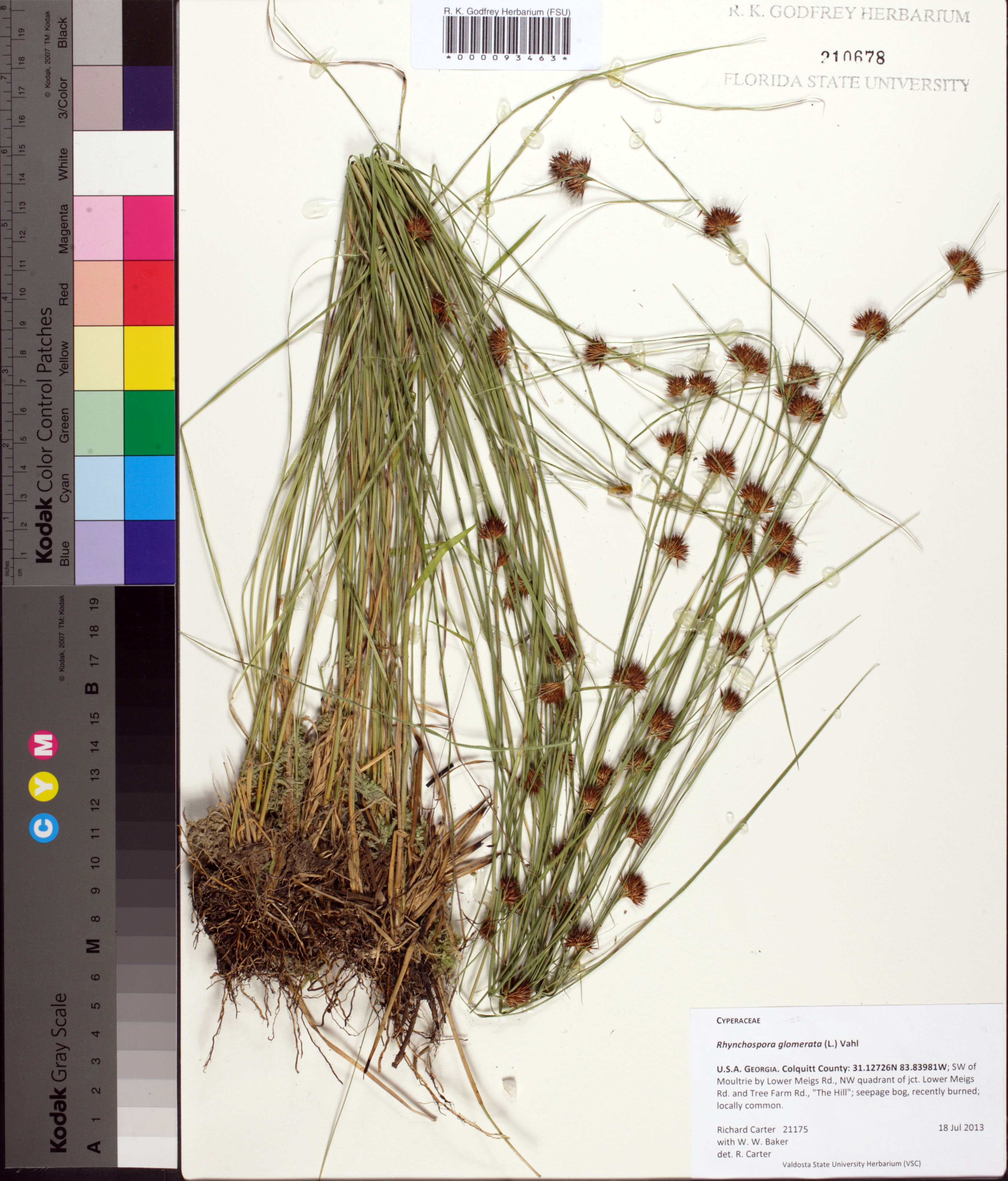
| Verbatim Directions to Locality: | SW of Moultrie by Lower Meigs Rd., NW quadrant of jct. Lower Meigs Rd and Tree Farm Rd., "The Hill"; seepage bog |
| Latitude - degree with decimals: | 31.12726 |
| Latitude Direction Flag: | N |
| Longitude - degree with decimals: | 83.83981 |
| Longitude Direction Flag: | W |
| Habitat: | seepage bog, recently burned |
| Local Abundance Observations: | locally common |
| Non digital information?: | N |