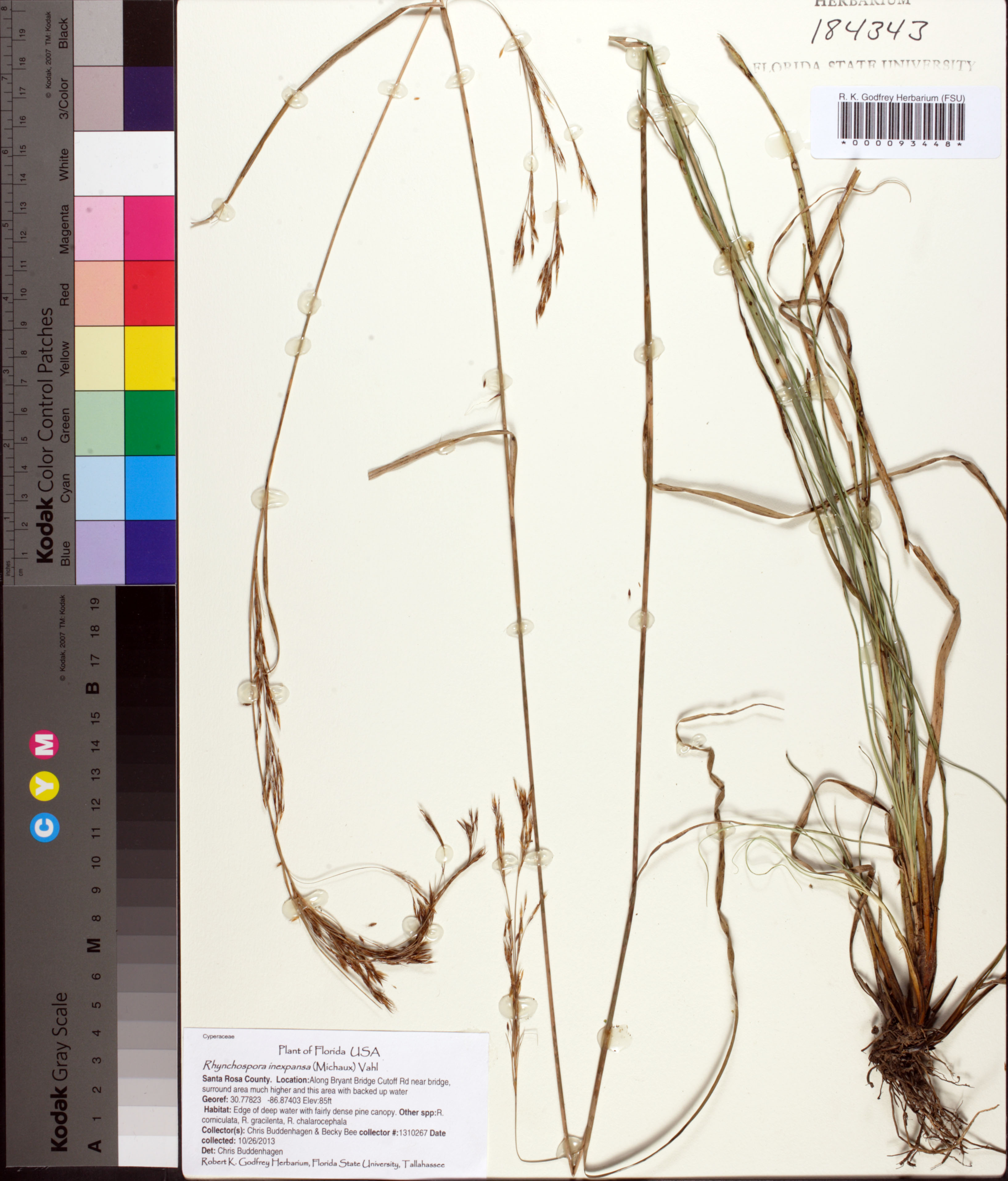
| Verbatim Directions to Locality: | Along Bryant Bridge Cutoff Rd near bridge, surrounding area much higher and this area with backed up water |
| Altitude (in meters): | 26 |
| Method of Altitude Determination: | GPS |
| Latitude - degree with decimals: | 30.77823 |
| Latitude Direction Flag: | N |
| Longitude - degree with decimals: | 86.87403 |
| Longitude Direction Flag: | W |
| Habitat: | Edge of dep water with fairly dense pine canopy. Other spp: R. corniculata, R. gracilenta, R. chalarocephela |
| Non digital information?: | N |