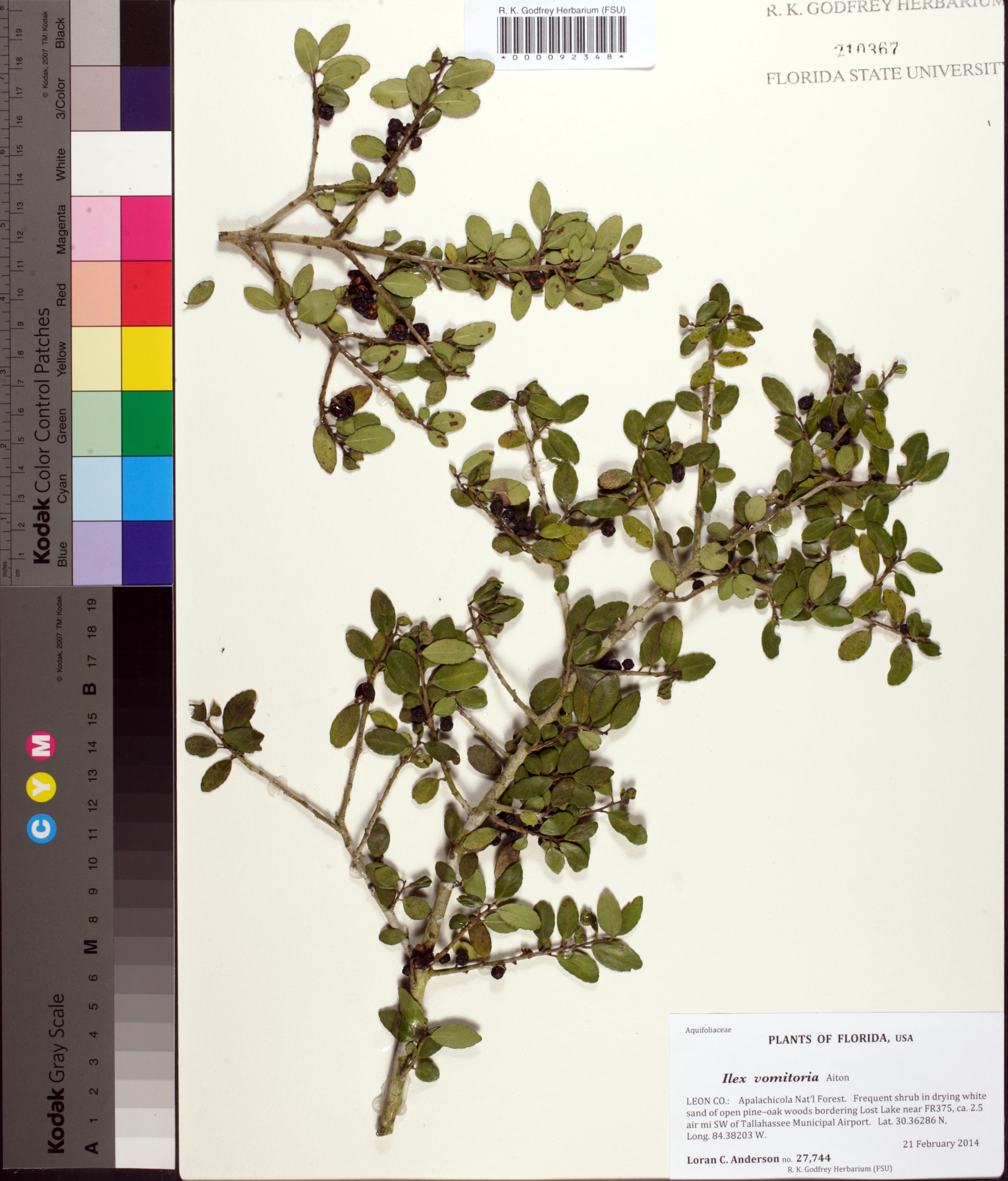
| Special Geographical Unit: | Apalachicola National Forest |
| Verbatim Directions to Locality: | Apalachicola Nat'l Forest; bordering Lost Lake near FR375, ca. 2.5 air mi SW of Tallahassee Municipal Airport. Lat. 30.36286 N, Long. 84.38203 W. |
| Latitude - degree with decimals: | 30.36286 |
| Latitude Direction Flag: | N |
| Longitude - degree with decimals: | 84.38203 |
| Longitude Direction Flag: | W |
| Habitat: | in drying white sand of open pine-oak woods |
| Plant Morphology Observations: | shrub |
| Local Abundance Observations: | frequent |
| Notes: | Voucher for leaf tissue taken for phytolith study by Kaoru Ueda [FSU Dept. of Anthropology] 2 Aug 2016
|
| Non digital information?: | N |