| Special Geographical Unit: | Apalachicola National Forest |
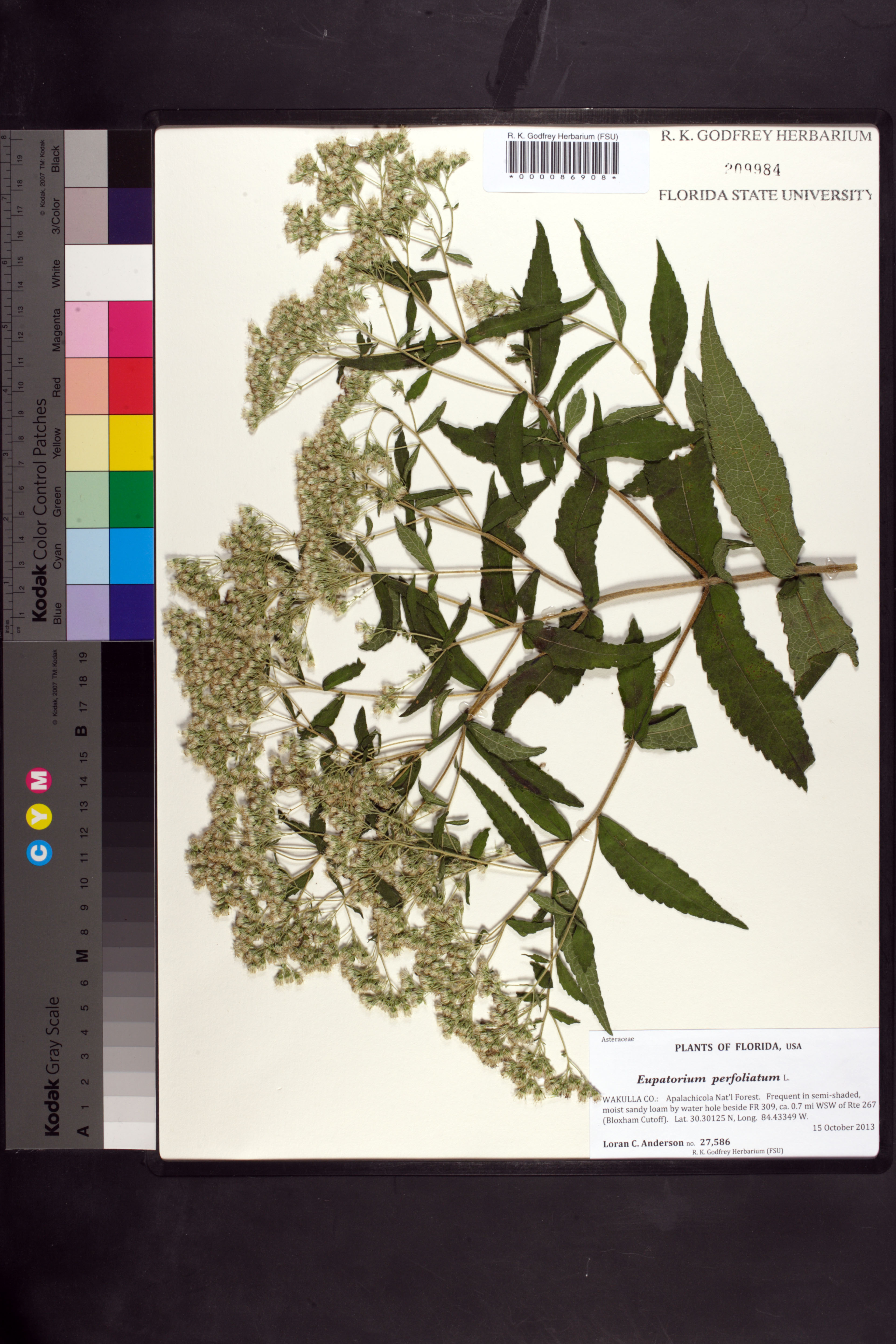
| Verbatim Directions to Locality: | Apalachicola Nat'l Forest; by water hole beside FR 309, ca. 0.7 mi WSW of Rte 267 (Bloxham Cutoff); Lat. 30.30125 N, Long. 84.43349 W. |
| Latitude - degree with decimals: | 30.30125 |
| Latitude Direction Flag: | N |
| Longitude - degree with decimals: | 84.43349 |
| Longitude Direction Flag: | W |
| Habitat: | in semi-shaded, moist sandy loam |
| Local Abundance Observations: | frequent |
| Non digital information?: | N |