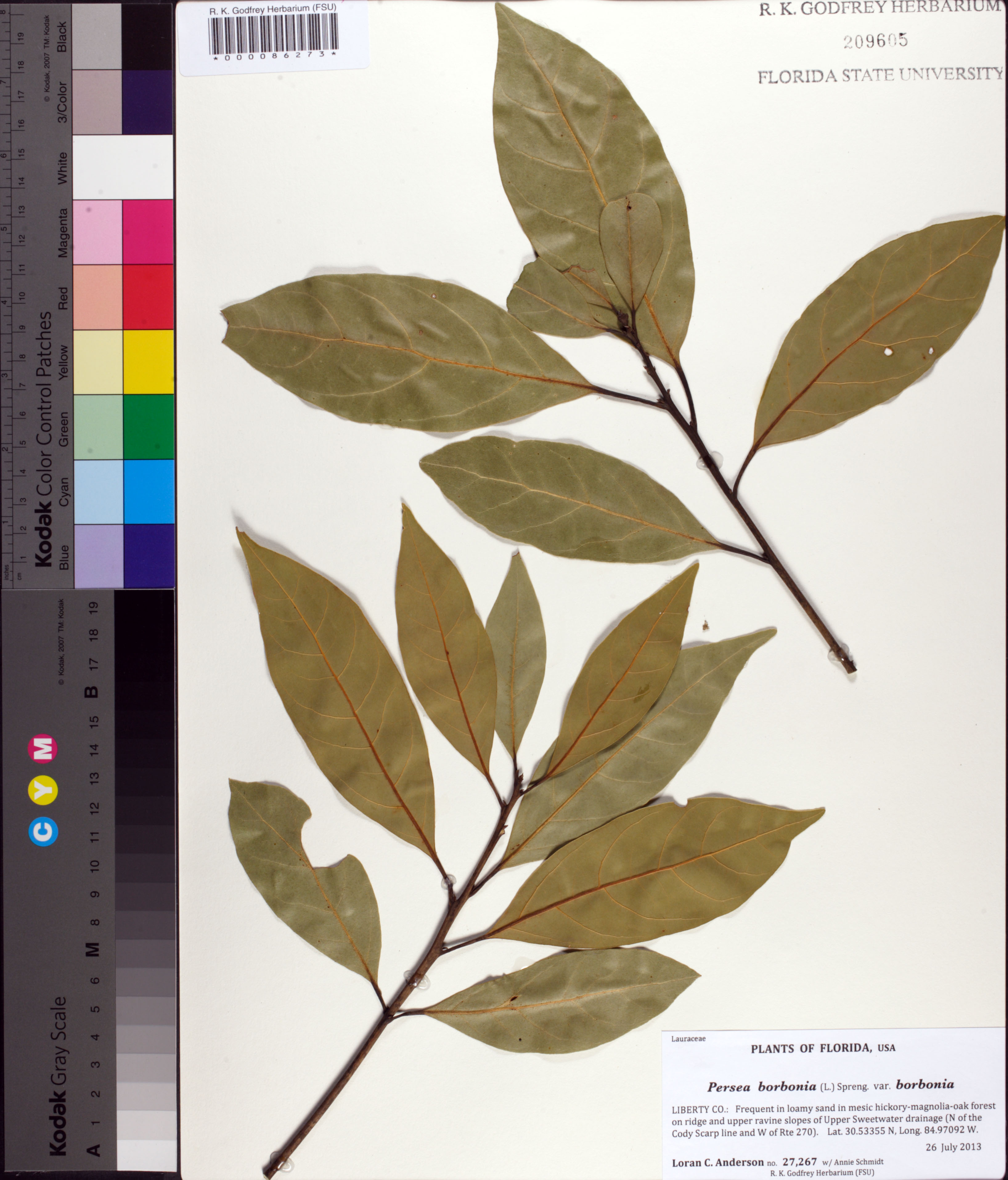
| Verbatim Directions to Locality: | Upper Sweetwater drainage (N of the Cody Scarp line and W of Rte 270). Lat. 30.53355 N, Long. 84.97092 W. |
| Latitude - degree with decimals: | 30.53355 |
| Latitude Direction Flag: | N |
| Longitude - degree with decimals: | 84.97092 |
| Longitude Direction Flag: | W |
| Habitat: | in loamy sand in mesic hickory-magnolia-oak forest on ridge and upper ravine slopes |
| Local Abundance Observations: | frequent |
| Non digital information?: | N |