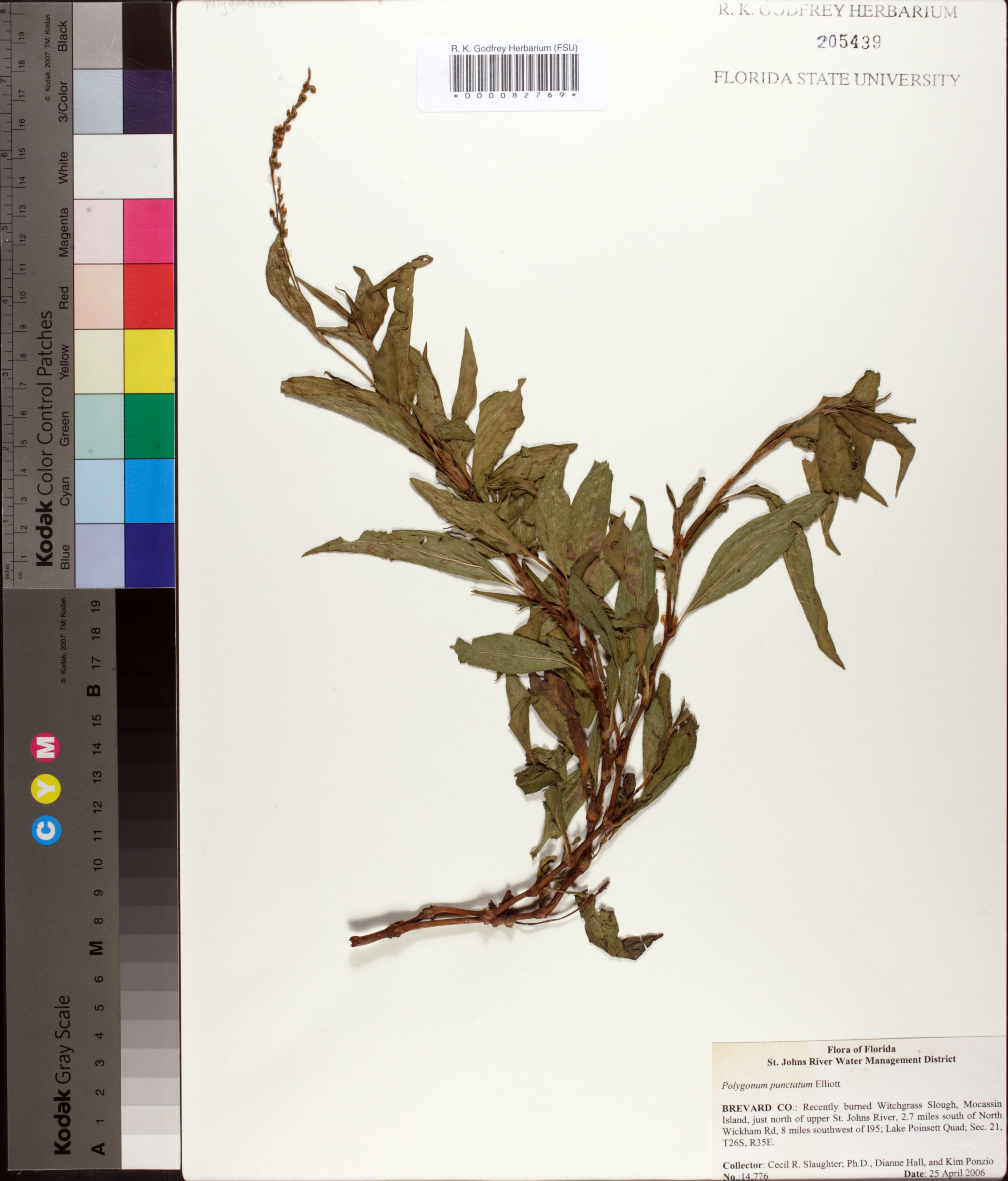
| Verbatim Directions to Locality: | Mocassin Island, just north of upper St. Johns River, 2.7 miles south of North Wickham Rd, 8 miles southwest of I95; Lake Poinsett Quad; Sec. 21, T26S, R35E. |
| Latitude - degree: | 0 |
| Latitude - minutes: | 0 |
| Latitude - seconds: | 0 |
| Latitude - degree with decimals: | 0 |
| Longitude - degree: | 0 |
| Longitude - minutes: | 0 |
| Longitude - seconds: | 0 |
| Longitude - degree with decimals: | 0 |
| Township: | 26S |
| Range: | 35E |
| Section: | 21 |
| Habitat: | Recently burned Witchgrass Slough. |
| Non digital information?: | N |