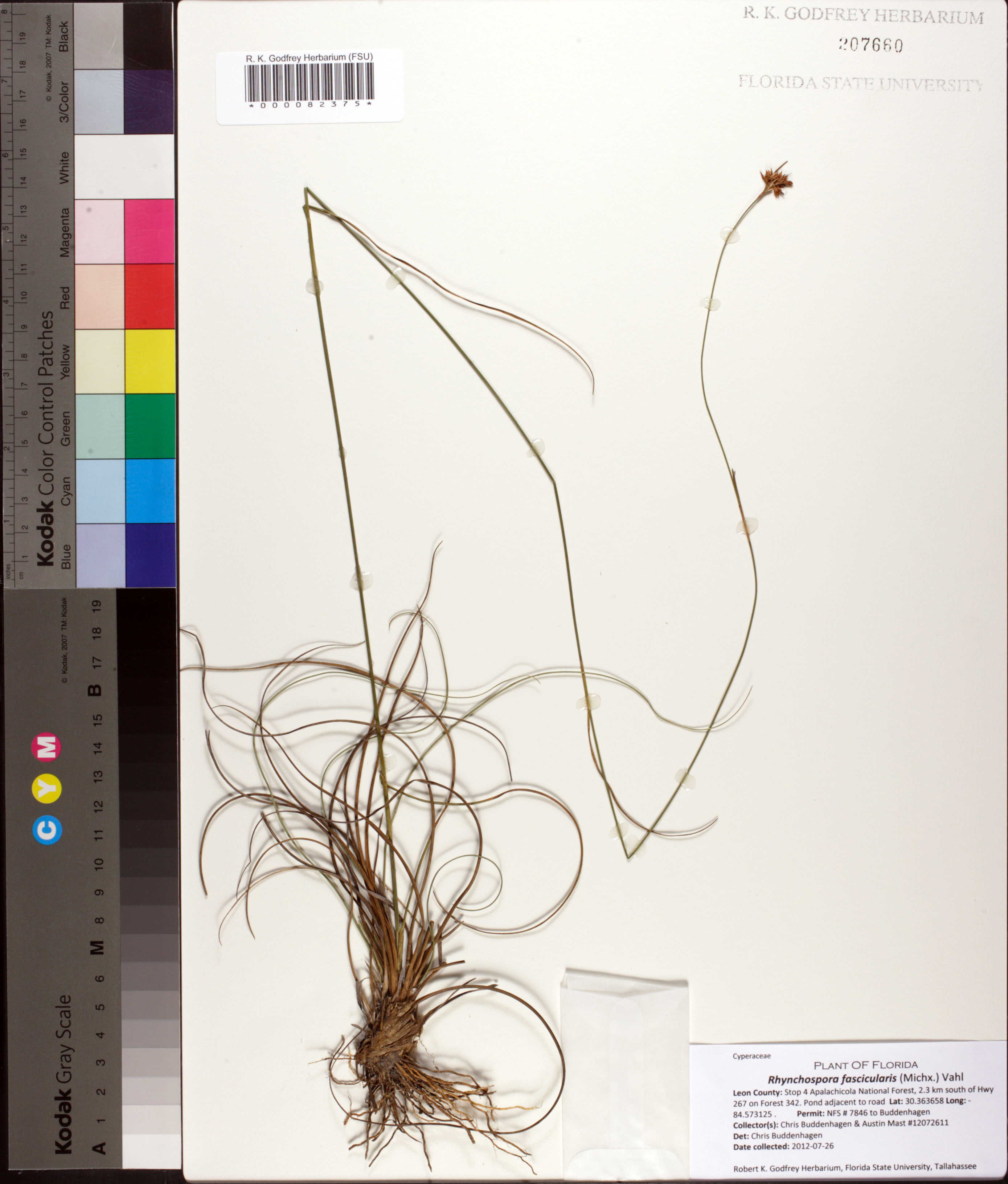
| Special Geographical Unit: | Apalachicola National Forest |
| Verbatim Directions to Locality: | Stop 4 Apalachicola National Forest, 2.3 km south of Hwy 267 on Forest 342. |
| Latitude - degree: | 0 |
| Latitude - minutes: | 0 |
| Latitude - seconds: | 0 |
| Latitude - degree with decimals: | 30.363658 |
| Latitude Direction Flag: | N |
| Longitude - degree: | 0 |
| Longitude - minutes: | 0 |
| Longitude - seconds: | 0 |
| Longitude - degree with decimals: | 84.573125 |
| Longitude Direction Flag: | W |
| Habitat: | Pond adjacent to road. |
| Notes: | Chris Buddenhagen - Permit: NFS # 7846 to Buddenhagen.
|
| Non digital information?: | N |