| Special Geographical Unit: | Lost Creek Forest |
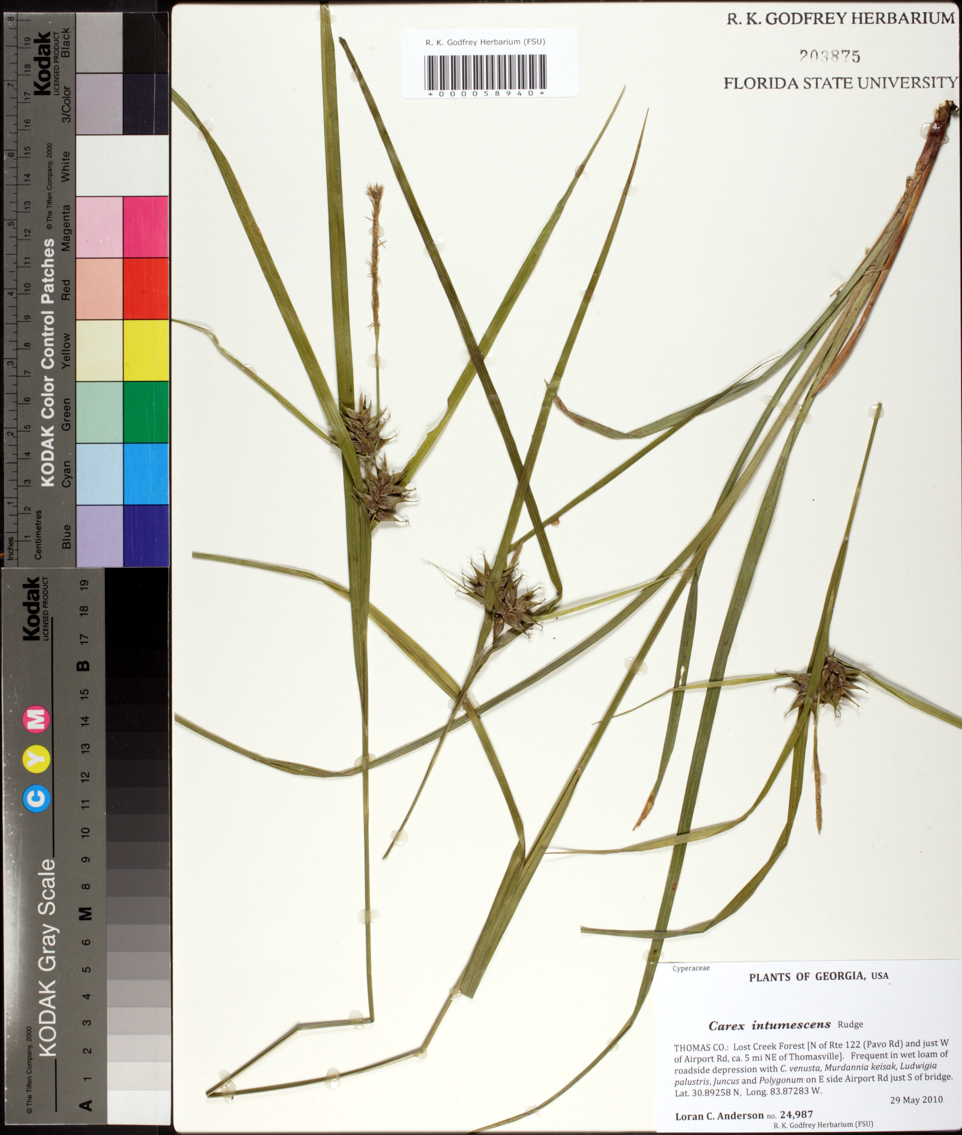
| Verbatim Directions to Locality: | N of Rte 122 (Pavo Rd) and just W of Airport Rd, ca. 5 mi NW of Thomasville; on E side Airport Rd just S of bridge. |
| Latitude - degree with decimals: | 30.89258 |
| Latitude Direction Flag: | N |
| Longitude - degree with decimals: | 83.87283 |
| Longitude Direction Flag: | W |
| Habitat: | In wet loam of roadside depression with C. venusta, Murdannia keisak, Ludwigia palustris, Juacus and Polygonum. |
| Local Abundance Observations: | Frequent. |
| Non digital information?: | N |