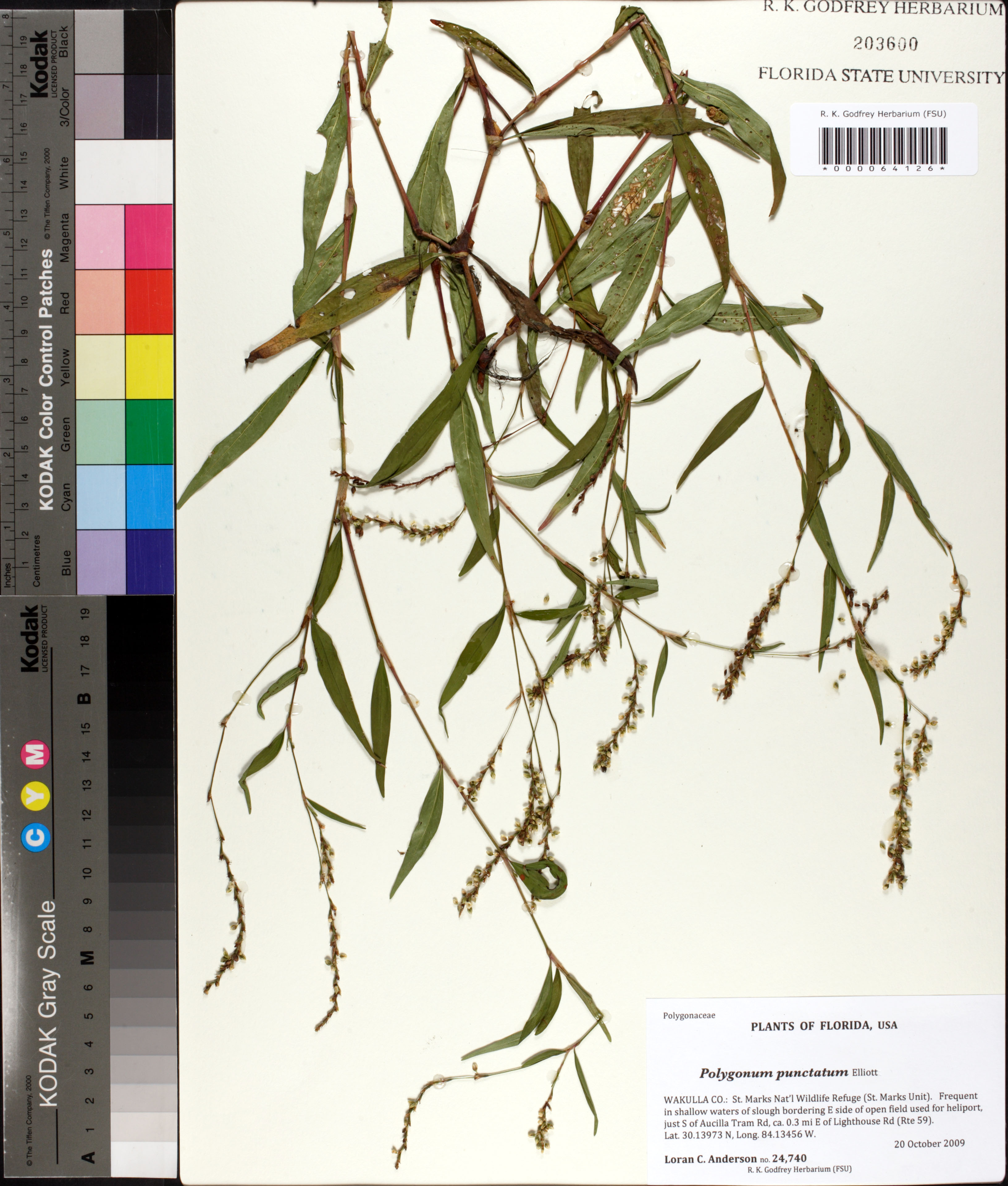
| Special Geographical Unit: | St. Marks Nat'l Wildlife Refuge (St. Marks Unit) |
| Verbatim Directions to Locality: | E side of open field used for heliport, just S of Aucilla Tram Rd, ca. 0.3 mi E of Lighthouse Rd (Rte 59). |
| Latitude - degree: | 30 |
| Latitude - degree with decimals: | 13973 |
| Latitude Direction Flag: | N |
| Longitude - degree: | 84 |
| Longitude - degree with decimals: | 13456 |
| Longitude Direction Flag: | W |
| Habitat: | Frequent in shallow waters of slough bordering E side of open field used for heliport. |
| Non digital information?: | N |