| Special Geographical Unit: | St. Marks Nat'l Wildlife Refuge |
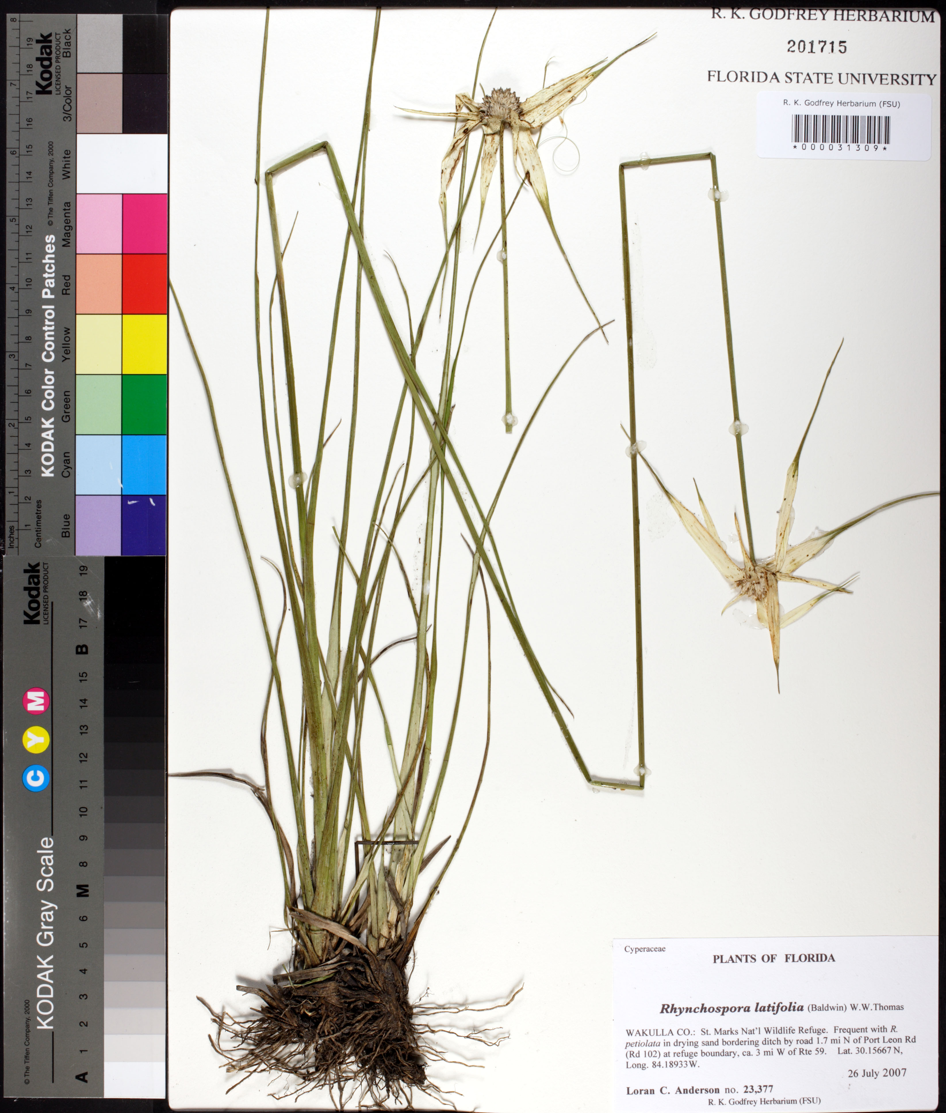
| Verbatim Directions to Locality: | bordering ditch by road 1.7 mi N of Port Leon Rd (Rd 102) at refuge boundary, ca. 3 mi W of Rte 59 |
| Latitude - degree with decimals: | 30.15667 |
| Latitude Direction Flag: | N |
| Longitude - degree with decimals: | 84.18933 |
| Longitude Direction Flag: | W |
| Habitat: | drying sand bordering ditch |
| Local Abundance Observations: | Frequent with R. petiolata |
| Non digital information?: | N |