| Special Geographical Unit: | Ichetucknee Springs State Park |
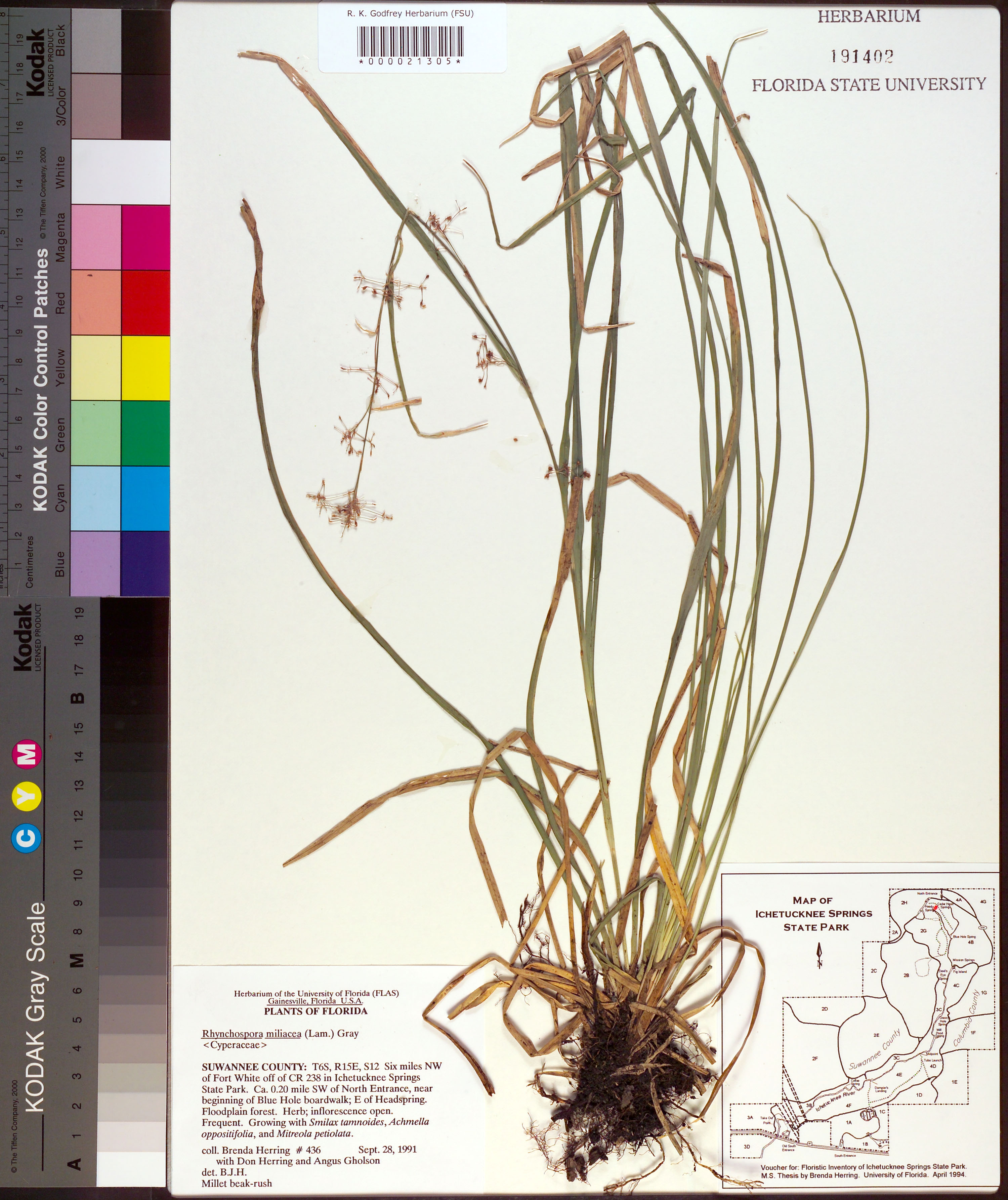
| Verbatim Directions to Locality: | 6 miles NW of Fort White off CR 238 in Ichetucknee Springs State Park; ca 0.20 mi SW of North Entrance near beginning of Blue Hole boardwalk; E of Headspring. |
| Township: | 6S |
| Range: | 15E |
| Section: | 12 |
| Habitat: | floodplain forest; growing with Smilax tamnoides, Achmella oppositifolia, and Mitreola petiolata. |
| Plant Morphology Observations: | herb, inflorescence open. |
| Local Abundance Observations: | frequent. |
| Notes: | Brenda Herring - [map].
voucher for: Floristic survey of Ichetucknee Springs State Park. MS Thesis by Brenda Herring. Ubniversity of Florida. April 1994.
|