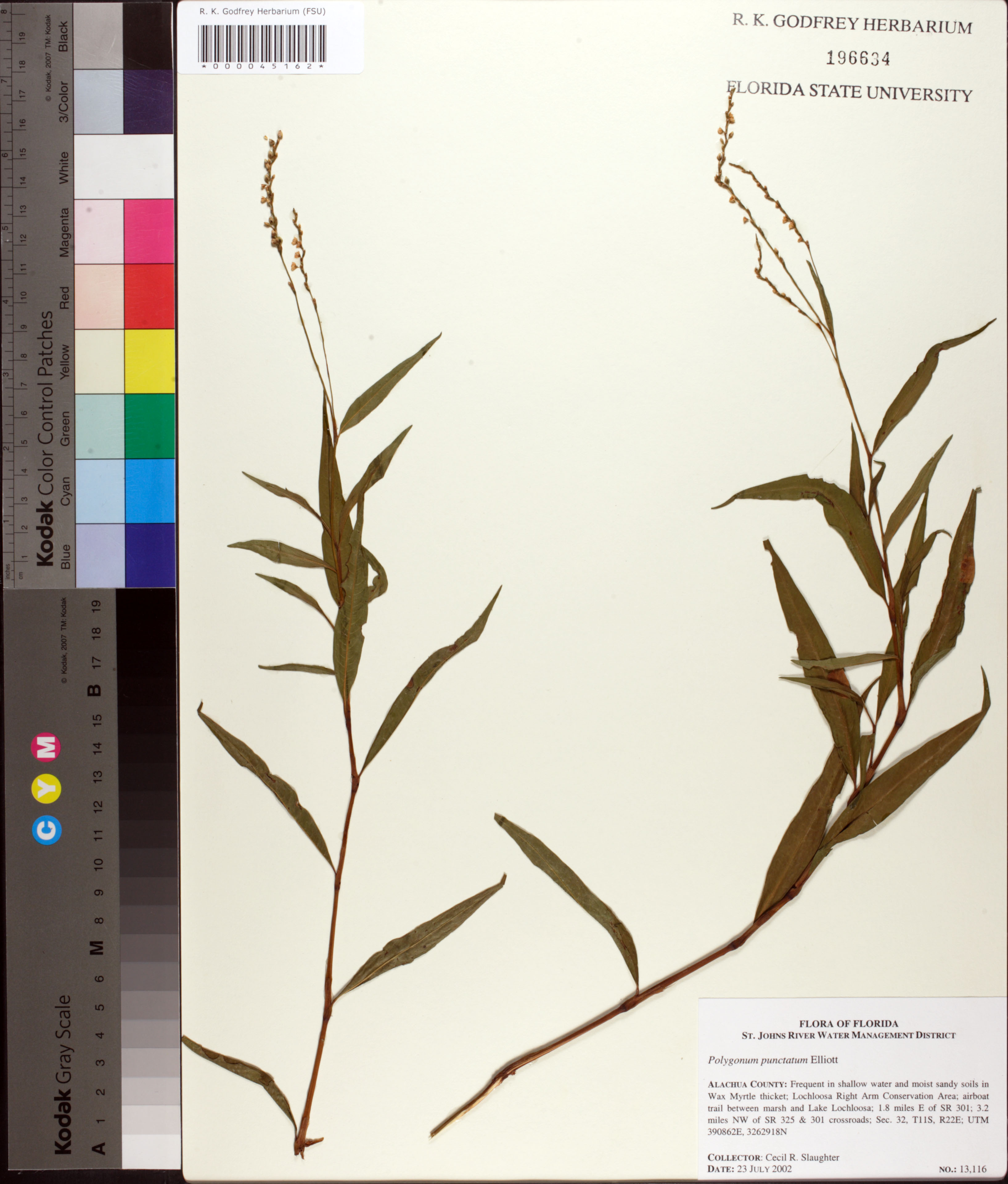
| Special Geographical Unit: | Lochloosa Right Arm Conservation Area |
| Verbatim Directions to Locality: | Lochloosa Right Arm Conservation Area 1.8 miles E of SR 301; 3.2, miles NW of SR 325 & 301 crossroads. |
| Latitude - degree with decimals: | 3262918 |
| Latitude Direction Flag: | N |
| Longitude - degree with decimals: | 390862 |
| Longitude Direction Flag: | E |
| Source of Latitude and Longitude Data: | UTM |
| Township: | 11S |
| Range: | 22E |
| Section: | 32 |
| Habitat: | Shallow water and moist sandy soils in Wax Myrtle thicket; airboat trail between marsh and Lake Lochloosa. |
| Local Abundance Observations: | Frequent. |