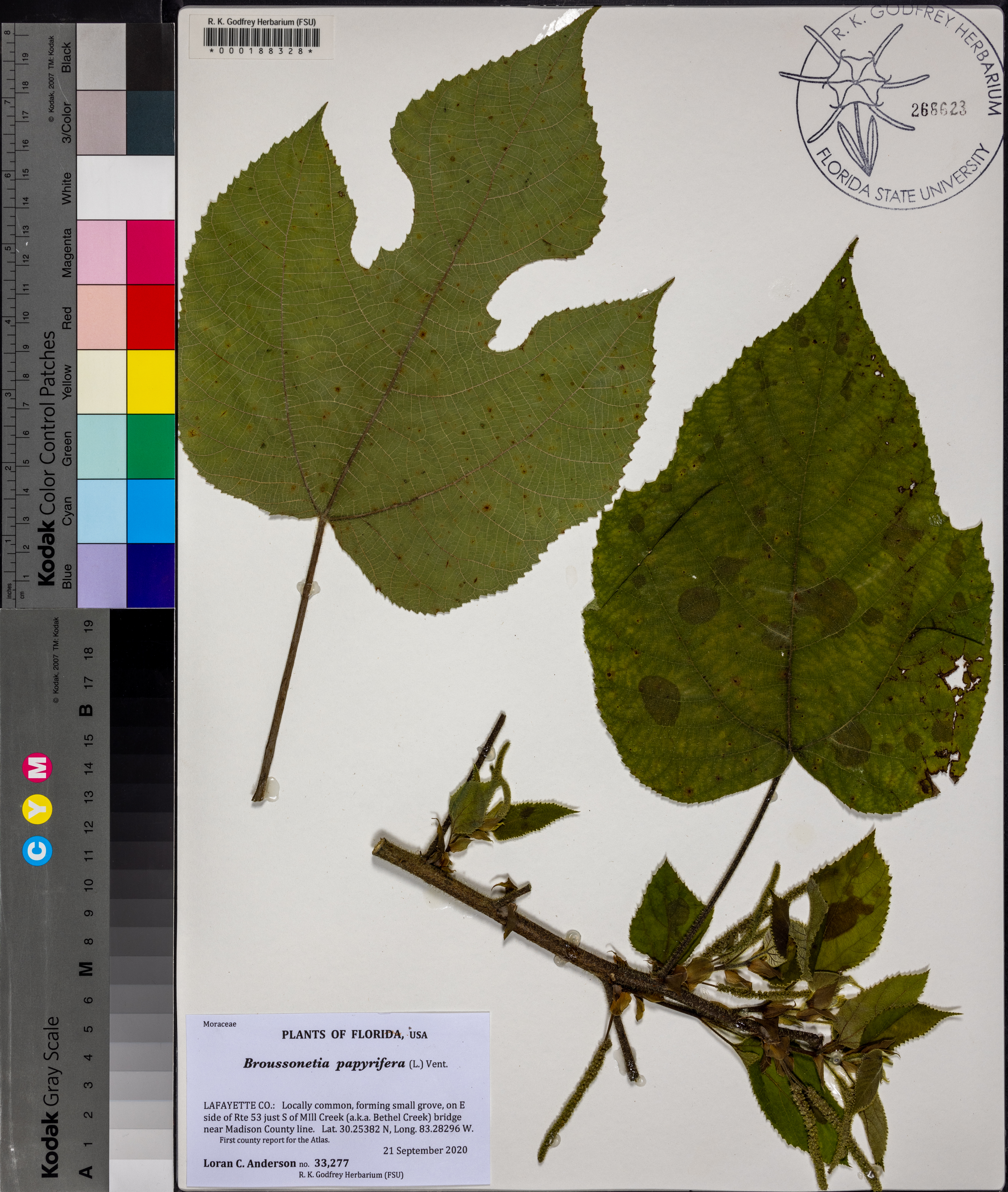
| Verbatim Directions to Locality: | forming small grove, on E side of Rte 53 just S of Mill Creek (a.k.a. Bethel Creek) bridge near Madison County Line. |
| Latitude - degree with decimals: | 30.25382 |
| Latitude Direction Flag: | N |
| Longitude - degree with decimals: | 83.28296 |
| Longitude Direction Flag: | W |
| Habitat: | small grove on roadside. |
| Local Abundance Observations: | locally common. |
| Notes: | Loran C. Anderson - First county report for the Atlas.
|
| Non digital information?: | N |