| Special Geographical Unit: | Apalachicola National Forest |
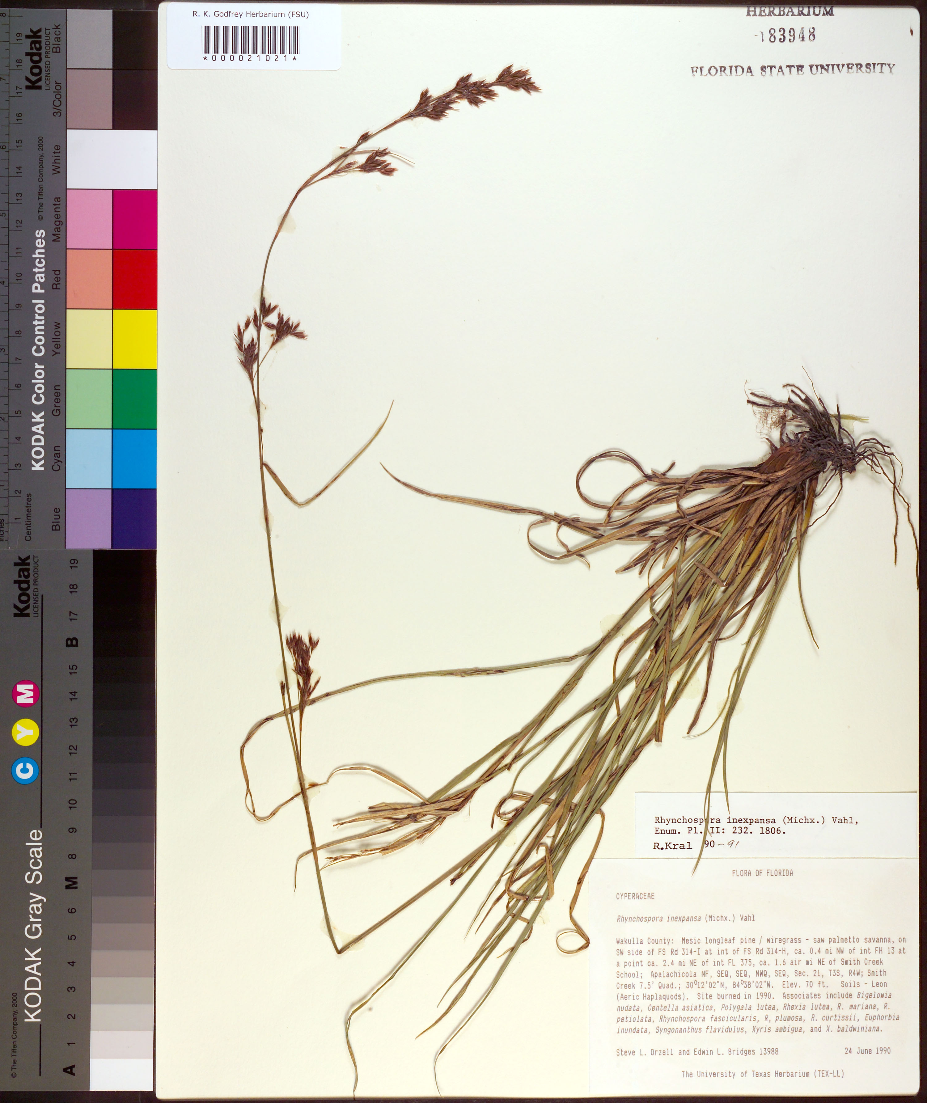
| Verbatim Directions to Locality: | Apalachicola NF; on SW side of FS Rd 314-I at int of FS Rd 314-H, ca 0.4 mi NW of int FH 13 at a point ca. 2.4 mi NE of int FL 375, ca. 1.6 air mi NE of Smith Creek School. |
| Altitude (in meters): | 21 |
| Latitude - degree: | 30 |
| Latitude - minutes: | 12 |
| Latitude - seconds: | 2 |
| Latitude Direction Flag: | N |
| Longitude - degree: | 84 |
| Longitude - minutes: | 38 |
| Longitude - seconds: | 2 |
| Longitude Direction Flag: | W |
| Township: | 3S |
| Range: | 4W |
| Section: | 21 |
| Sixteenth: | NW |
| Quarter: | SE |
| USGS Quad Number: | 30084 B-6 |
| Habitat: | mesic longleaf pine/wiregrass-saw palmetto savanna; soils - Leon (Aeric Haplaquods), site burned in 1990 associates include Bigelowia nudata, Centella asiatica, Polygala lutea, Rhexia lutea, R. mariana, R petiolata, Rhynchospora fascicularis, R. plumosa, R. curtissii, Euphorbia inundata, Syngonanthus flavidulus, Xyris ambigua, and X. baldwiniana. |
| Notes: | Steve L. Orzell - SEQ, SEQ, NWQ, SEQ Sec. 21, T3S, R4W.
|
| Type of Donor: | Herbarium |
| Donor: | The University of Texas Herbarium (TEX-LL) |
| Non digital information?: | N |