| Special Geographical Unit: | Blackwater River State Forest |
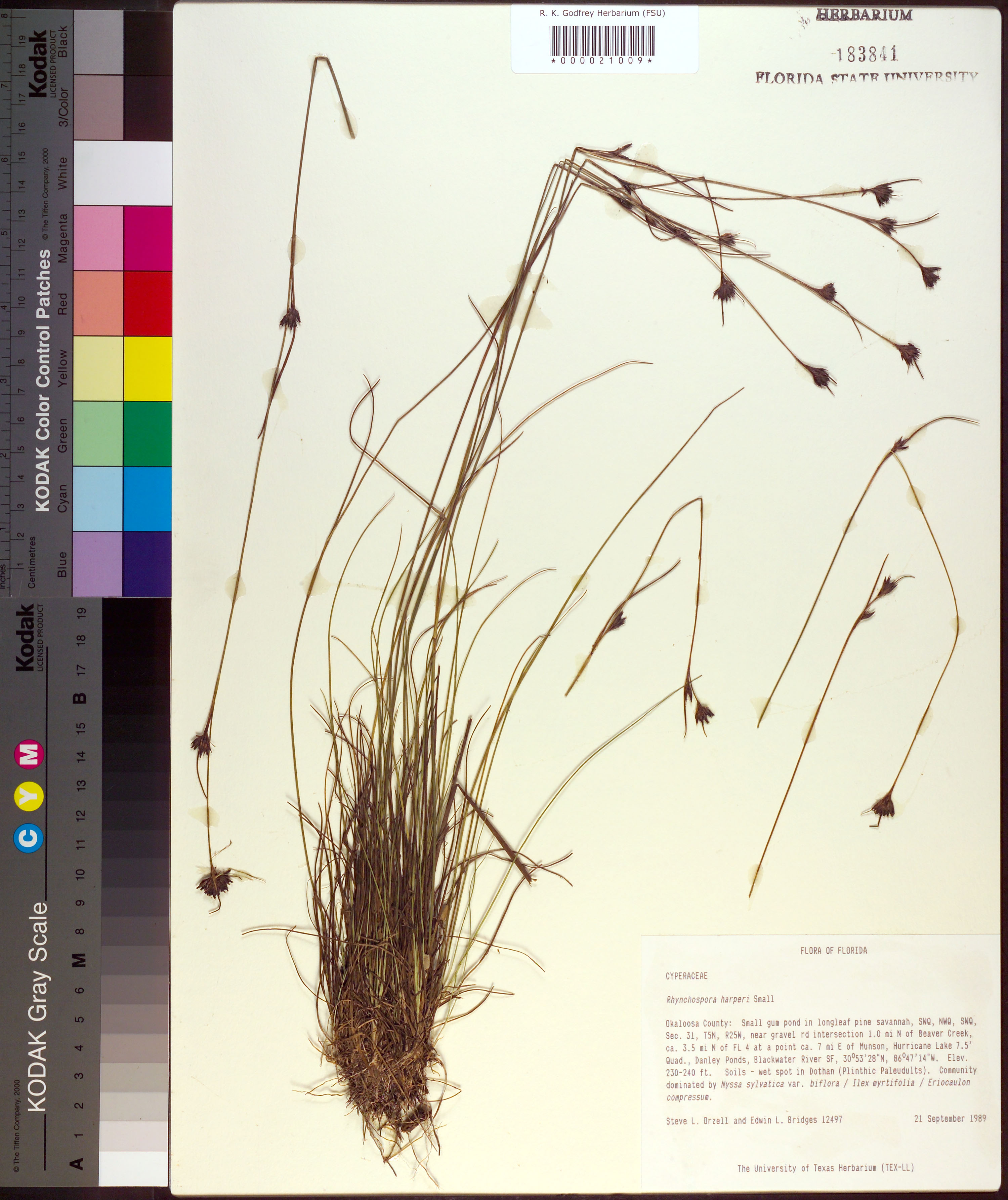
| Verbatim Directions to Locality: | near gravel road intersection 1.0 mi N of Beaver Creek, ca 3.5 mi N of FL 4 at a point ca. 7 mi E of Munson; Danley Ponds, Blackwater River SF. |
| Latitude - degree: | 30 |
| Latitude - minutes: | 53 |
| Latitude - seconds: | 28 |
| Latitude Direction Flag: | N |
| Longitude - degree: | 86 |
| Longitude - minutes: | 47 |
| Longitude - seconds: | 14 |
| Longitude Direction Flag: | W |
| Township: | 5N |
| Range: | 25W |
| Section: | 31 |
| Sixteenth: | NW |
| Quarter: | SW |
| USGS Quad Number: | 30086 H-7 |
| Habitat: | small gum pond in longleaf pine savanna; soils - wet spot in Dothan (Plinthic Paleudults); community dominated by Nyssa sylvatica var. biflora/Ilex myrtifolia/Eriocaulon compressum. |
| Notes: | Steve L. Orzell - SWQ, NWQ, SWQ section 31, T5, R25W.
|
| Type of Donor: | Herbarium |
| Donor: | University of Texas Herbarium (TEX-LL) |
| Non digital information?: | N |