| Special Geographical Unit: | Myakka River State Park |
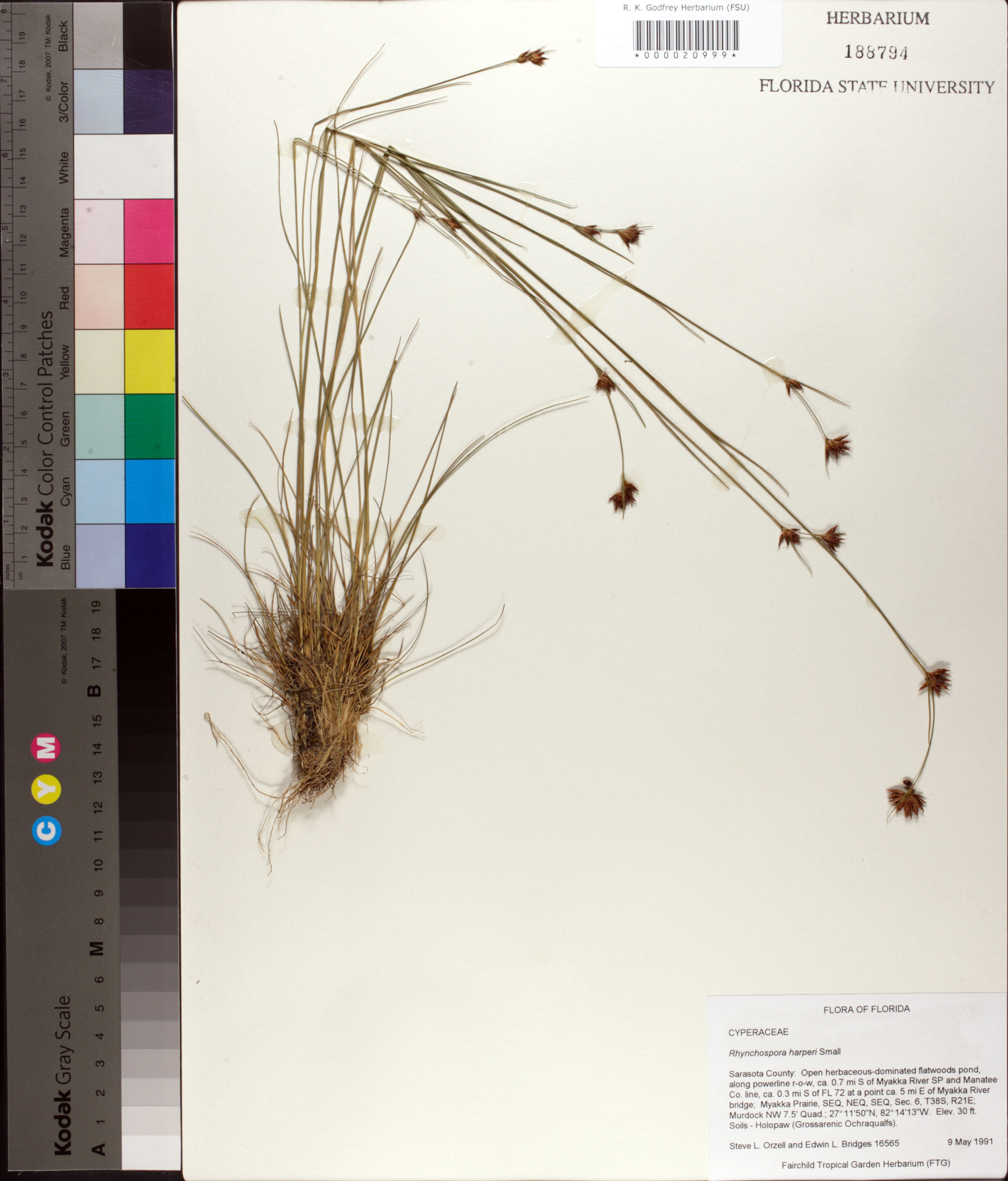
| Verbatim Directions to Locality: | ca. 0.7 mi S of Myakka River SP and Manatee Co. line, ca. 0.3 mi S of FL 72 at a point ca. 5mi E of Myakka River bridge, Myakka Prairie. |
| Altitude (in meters): | 9 |
| Latitude - degree: | 27 |
| Latitude - minutes: | 11 |
| Latitude - seconds: | 50 |
| Latitude Direction Flag: | N |
| Longitude - degree: | 82 |
| Longitude - minutes: | 14 |
| Longitude - seconds: | 13 |
| Longitude Direction Flag: | W |
| Township: | 38S |
| Range: | 21E |
| Section: | 6 |
| Sixteenth: | NE |
| Quarter: | SE |
| Habitat: | open herbaceous-dominated flatwoods pond along powerline r-o-w; soils - Holopaw (Grossarenic Ochraqualfs). |
| Notes: | Steve L. Orzell - SEQ,NEQ, SEQ section 6
Murdock NW 7.5'quadrangle
|
| Type of Donor: | Herbarium |
| Donor: | Fairchild Tropical Garden (FTG) |