| Special Geographical Unit: | St Marks NWR |
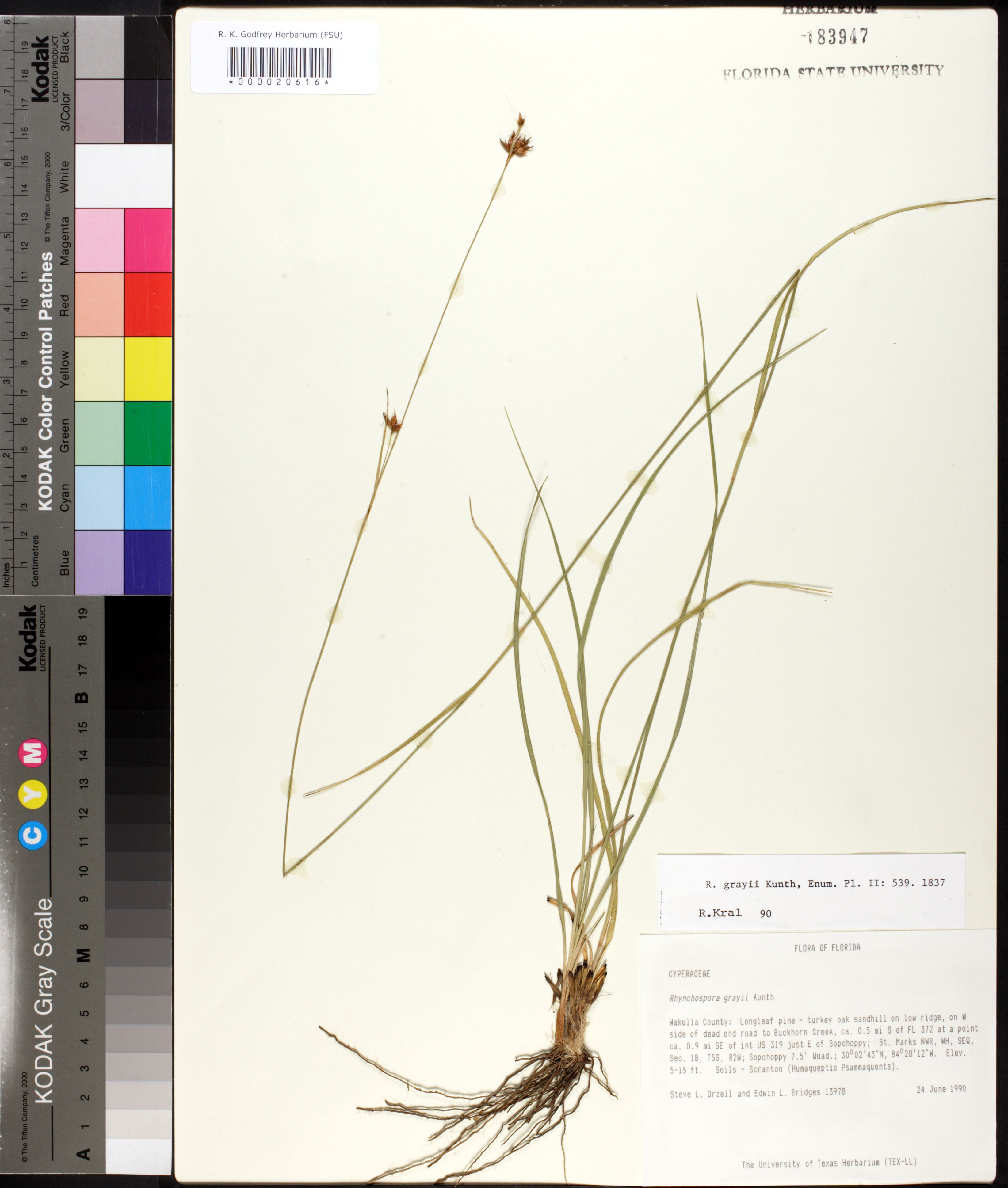
| Verbatim Directions to Locality: | W side of dead end road to Buckhorn Creek, ca. 0.5 mi S of FL 372 at a point ca. 0.9 mi SE of int US 319 just E of Sopchoppy; St Marks NWR, WH. |
| Latitude - degree: | 30 |
| Latitude - minutes: | 2 |
| Latitude - seconds: | 43 |
| Latitude Direction Flag: | N |
| Longitude - degree: | 84 |
| Longitude - minutes: | 28 |
| Longitude - seconds: | 12 |
| Longitude Direction Flag: | W |
| Township: | 005S |
| Range: | 002W |
| Section: | 18 |
| Quarter: | SE |
| Habitat: | longleaf pine-turkey oak sandhill on low ridge; soils - Scranton (Humaqueptic Psammaquents). |
| Notes: | Steve L. Orzell - Sopchoppy 7.5' quadrangle
|
| Type of Donor: | Herbarium |
| Donor: | University of Texas Herbarium (TEX-LL) |