| Verbatim Directions to Locality: | N side of Rte 388, 1.2 mi W of Burnt Mill Creek bridge. |
| Township: | 2S |
| Range: | 15W |
| Section: | 7 |
| Sixteenth: | SW |
| Quarter: | SE |
| Habitat: | in loamy sand of open meadow (cutover pine flatwoods). |
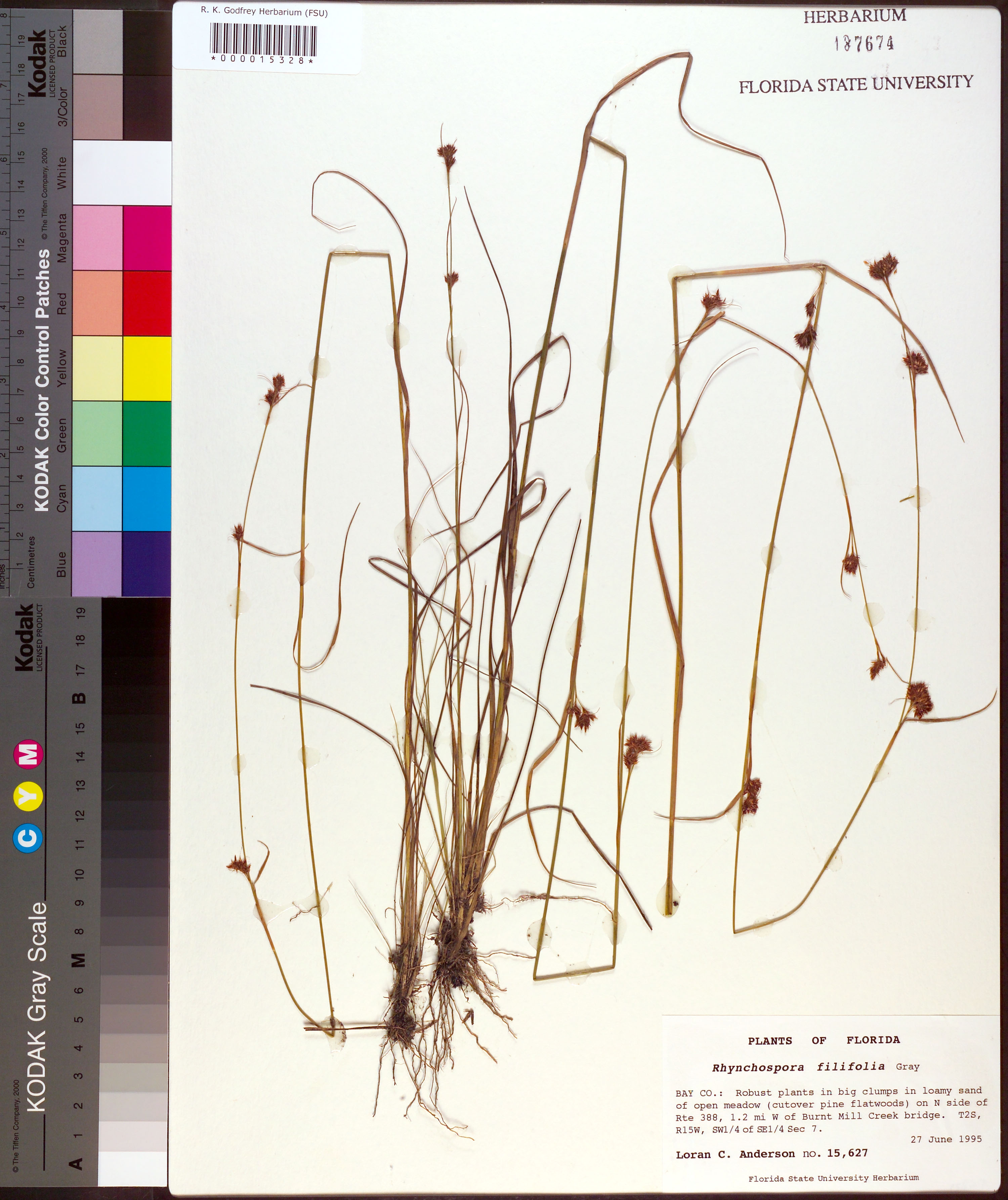
| Plant Morphology Observations: | robust plants. |
| Local Abundance Observations: | in big clumps. |
| Non digital information?: | N |