| Special Geographical Unit: | Congaree Swamp National Monument |
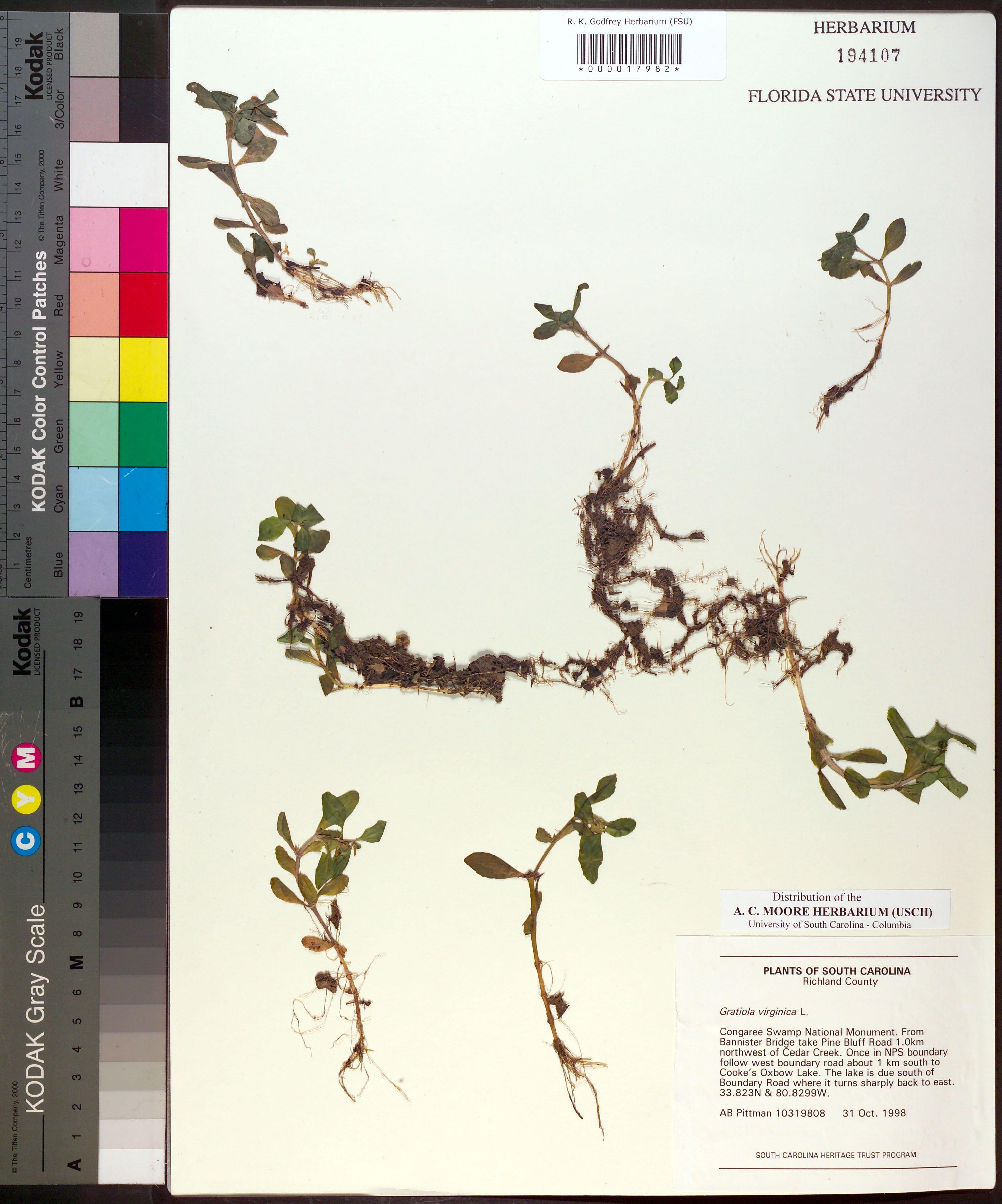
| Verbatim Directions to Locality: | Congaree Swamp National Monument. From Bannister Bridge take Pine Bluff Road 1.0km northwest of Cedar Creek. Once in NPS boundary follow west boundary road about 1 km south to Cooke's Oxbow Lake. The Lake is due south of Boundary Road where it turns sharply back to east. |
| Latitude - degree with decimals: | 33.823 |
| Latitude Direction Flag: | N |
| Longitude - degree with decimals: | 80.8299 |
| Longitude Direction Flag: | W |
| Habitat: | none. |
| Notes: | A. B. Pittman - South Carolina Heritage Trust Program
|
| Type of Donor: | Herbarium |
| Donor: | A. C. Moore Herbarium (USCH) |
| Non digital information?: | N |