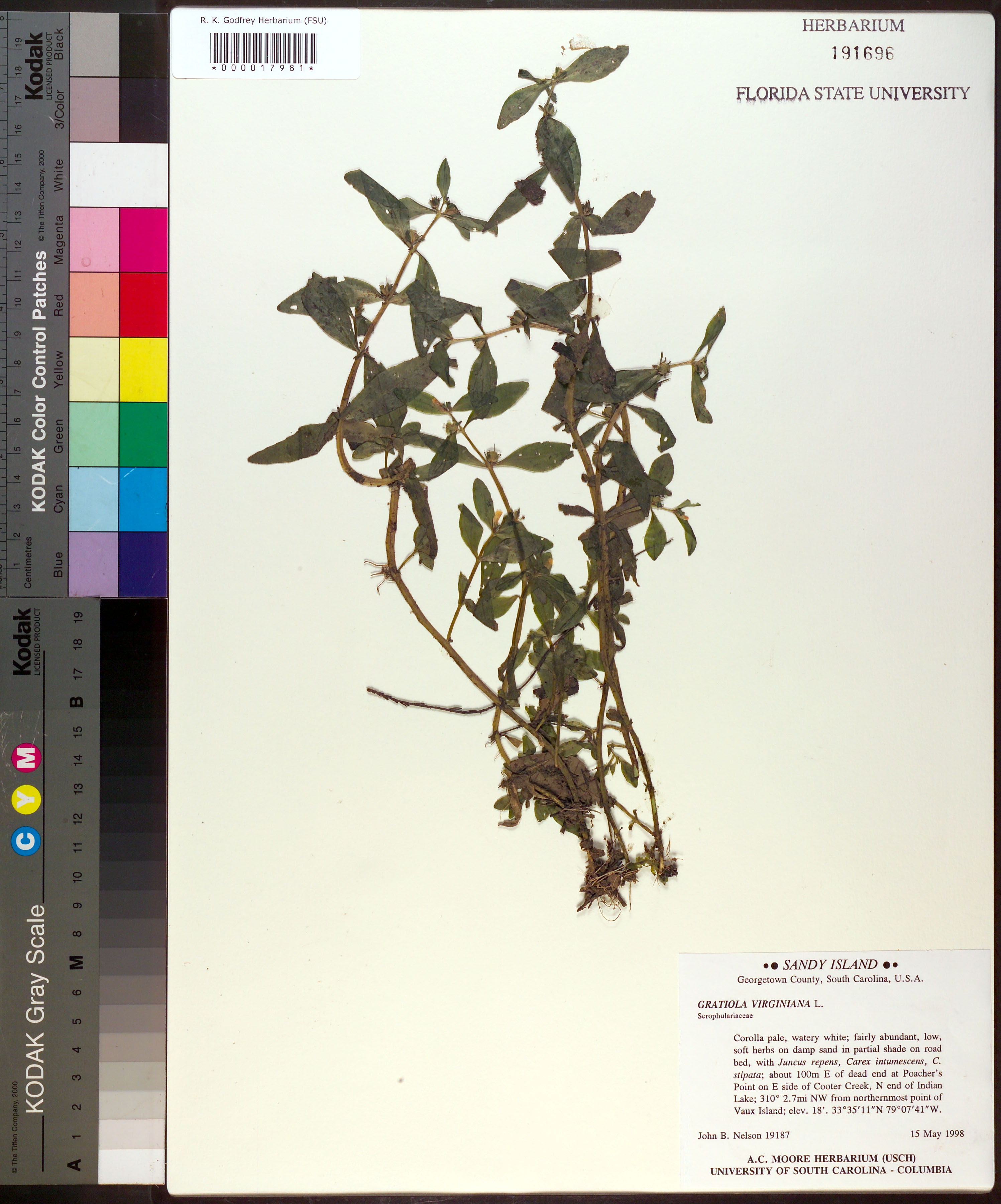
| Verbatim Directions to Locality: | Sandy Island; about 100m E of dead end at Poacher's Point on E side of Cooter Creek, N end of Indian Lake; 310 [degrees] 2.7 mi NW from northermost point of Vaux Island. |
| Altitude (in meters): | 5 |
| Method of Altitude Determination: | unknown |
| Latitude - degree: | 33 |
| Latitude - minutes: | 35 |
| Latitude - seconds: | 11 |
| Latitude Direction Flag: | N |
| Longitude - degree: | 79 |
| Longitude - minutes: | 7 |
| Longitude - seconds: | 41 |
| Longitude Direction Flag: | W |
| Habitat: | on damp sand in partial shade on road bed, with Juncus repens, Carex intumescens, C. stipata. |
| Plant Morphology Observations: | Corolla pale, watery white; low soft herbs. |
| Local Abundance Observations: | faily abundant |
| Type of Donor: | Herbarium |
| Donor: | A. C. Moore Herbarium (USCH) |
| Non digital information?: | N |