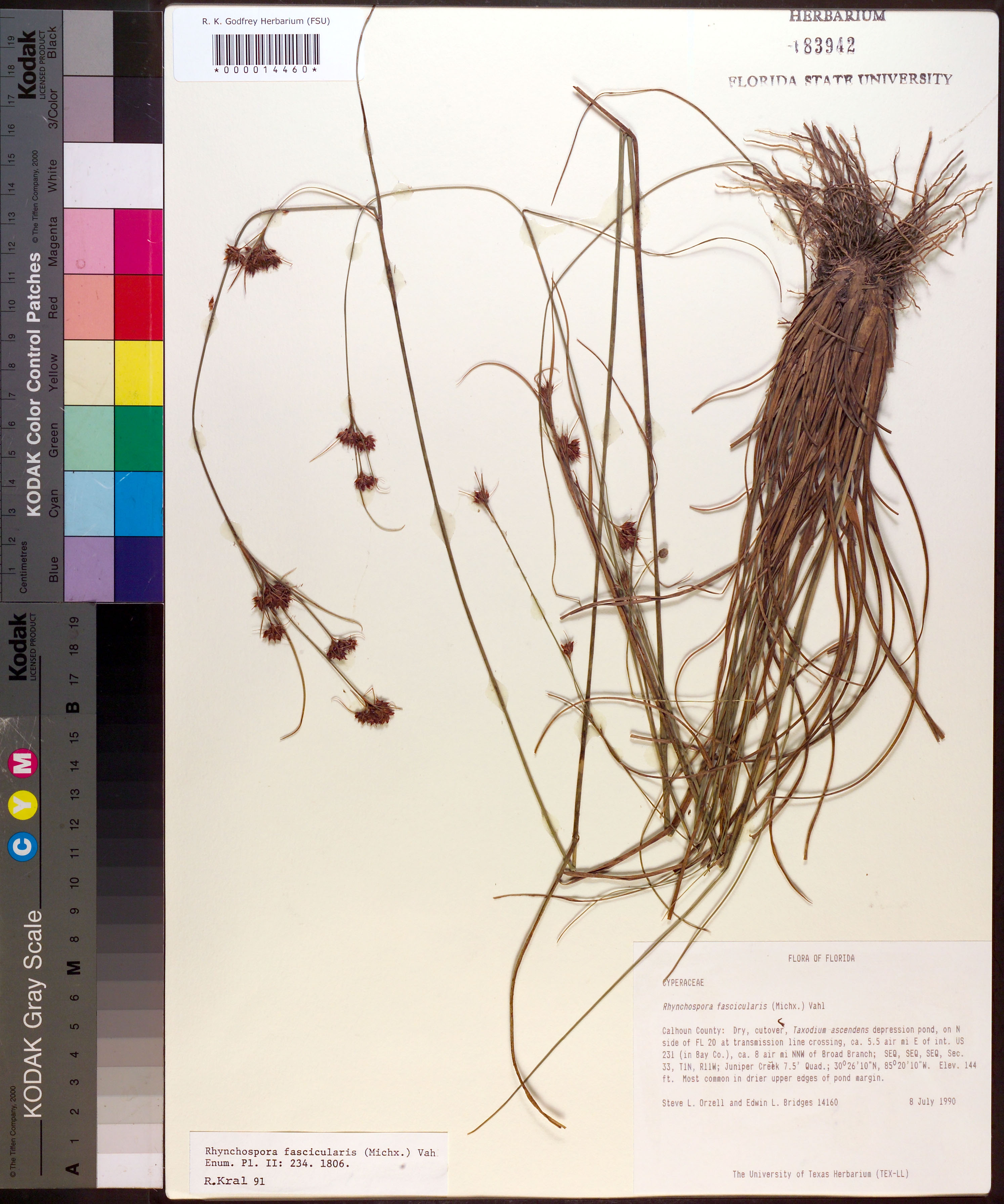
| Verbatim Directions to Locality: | on N side of FL 20 at transmission line crossing, ca. 5.5 air mi E of int. US 231 (in Bay Co.), ca. 8 air mi NNW of Broad Branch. |
| Altitude (in meters): | 43 |
| Latitude - degree: | 30 |
| Latitude - minutes: | 26 |
| Latitude - seconds: | 10 |
| Latitude Direction Flag: | N |
| Longitude - degree: | 85 |
| Longitude - minutes: | 20 |
| Longitude - seconds: | 10 |
| Longitude Direction Flag: | W |
| Township: | 1N |
| Range: | 11W |
| Section: | 33 |
| Sixteenth: | SE |
| Quarter: | SE |
| USGS Quad Number: | 30085 D-3 |
| Habitat: | Dry, cutover, Taxodium ascendens depression pond; Most common in drier upper edges of pond margin. |
| Local Abundance Observations: | Most common in drier upper edges of pond margin. |
| Notes: | Juniper Creek 7.5' Quad.
SEQ of SEQ of SEQ section 33.
|
| Type of Donor: | Herbarium |
| Donor: | The University of Texas Herbarium (TEX-LL) |
| Non digital information?: | N |