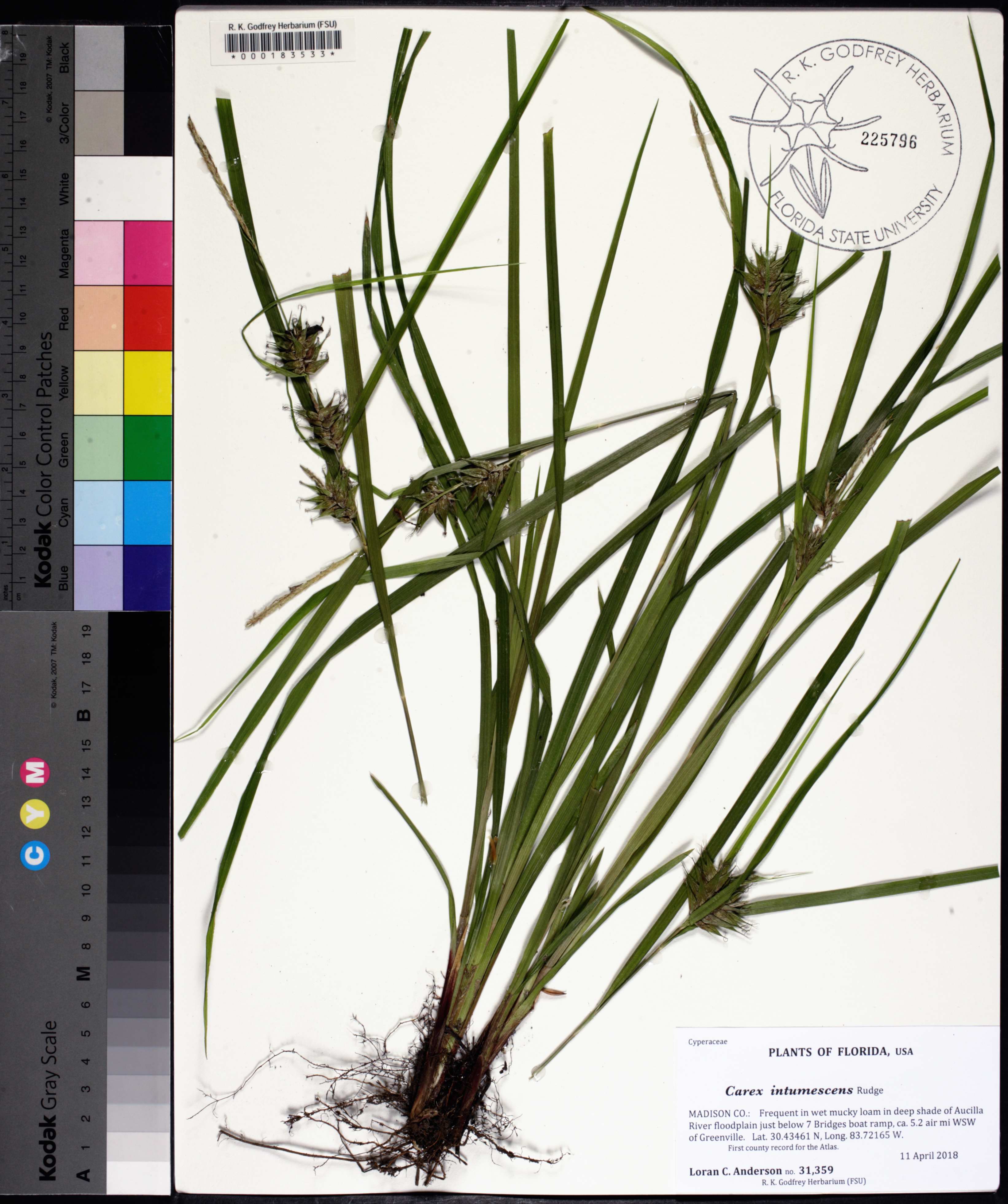
| Verbatim Directions to Locality: | Aucilla River floodplain just below 7 Bridges boat ramp, ca. 5.2 air mi WSW of Greenville |
| Latitude - degree with decimals: | 30.43461 |
| Latitude Direction Flag: | N |
| Longitude - degree with decimals: | 83.72165 |
| Longitude Direction Flag: | W |
| Habitat: | in wet mucky loam in deep shade of floodplain |
| Local Abundance Observations: | frequent |
| Notes: | Loran C. Anderson - first county record for the Atlas
|
| Non digital information?: | N |