| Special Geographical Unit: | Wade Tract |
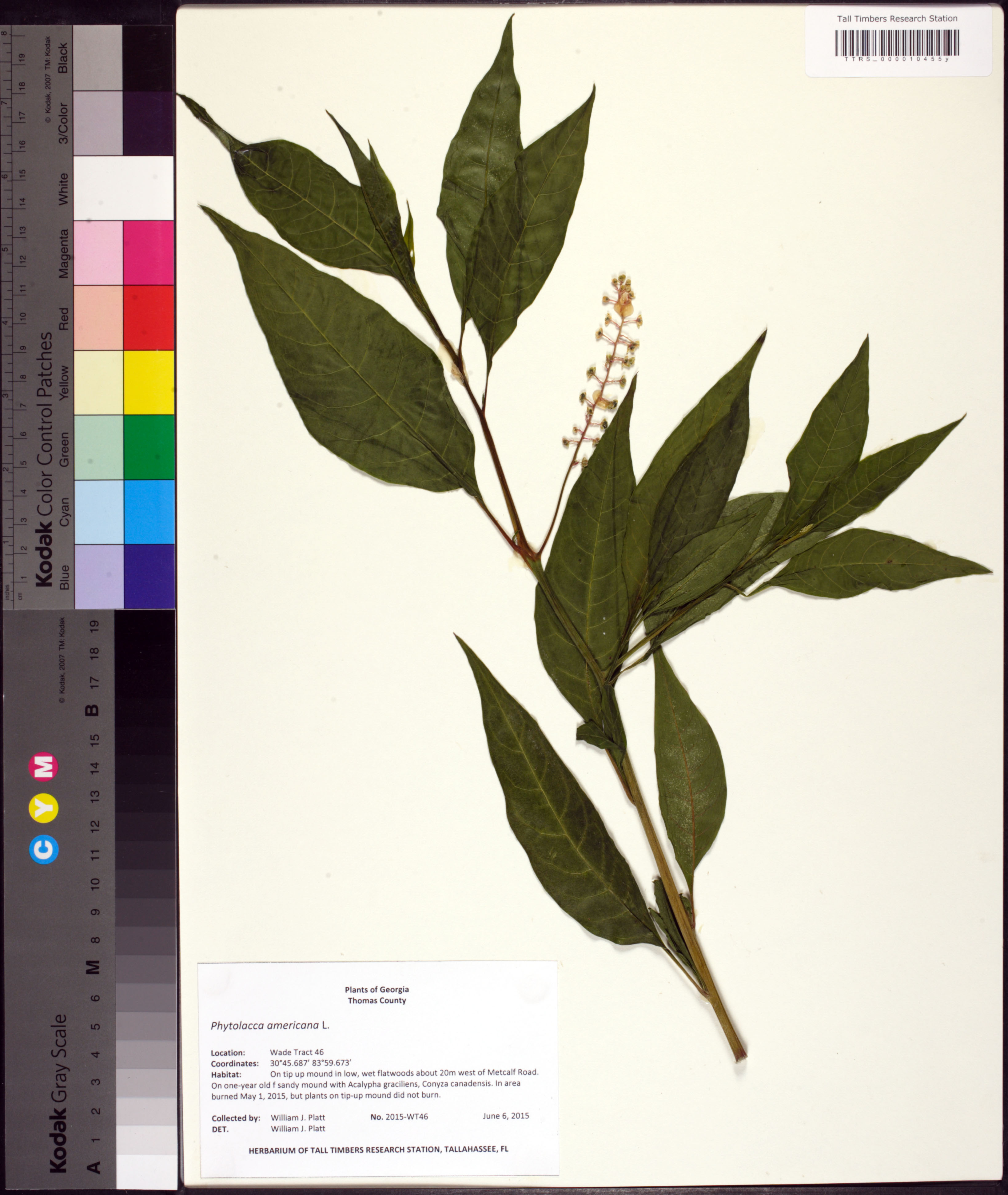
| Verbatim Directions to Locality: | Given Coordinates: 30°45.687'N, 83°59.673'W |
| Latitude - degree: | 30 |
| Latitude - minutes: | 45 |
| Latitude - seconds: | 687 |
| Latitude Direction Flag: | N |
| Longitude - degree: | 83 |
| Longitude - minutes: | 59 |
| Longitude - seconds: | 673 |
| Longitude Direction Flag: | W |
| Source of Latitude and Longitude Data: | Garmin Etrex Vista C |
| Habitat: | On tip up mound in low, wet flatwoods about 20m west of Metcalf Road. On one-year old sandy mound with Acalpya gracilens, Conyza canadensis. In area burned May 1, 2015, but plants on tip-up mound did not burn. |
| Non digital information?: | N |